Gloria night lights from space
Night Light of Gloria (Mimaropa) from space (Philippines) Src. Average luminocity for 10x10km area is 0.9286% and for 50x50km: 0.1285%.
Analysis of Gloria night lights 2016
Square area 10x10 km:
 0%
0%90-99
0%80-89
0%70-79
0%60-69
0%50-59
0%40-49
0.87%30-39
0%20-29
1.3%10-19
0.87%0-9
96.97%Square area 50x50 km:
0%90-99
0%80-89
0.03%70-79
0.01%60-69
0%50-59
0%40-49
0.07%30-39
0.07%20-29
0.11%10-19
0.06%0-9
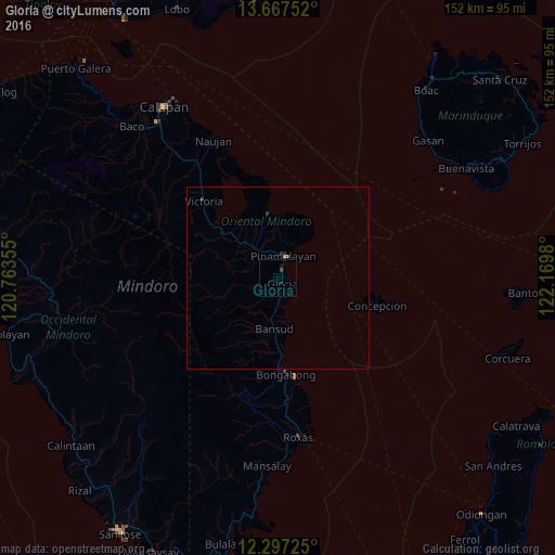
99.66%Clear (daylight) street map image can be seen on geolist.org.
Map coordinates:
13° 40' 3.1" North, 120° 45' 48.8" East
12° 58' 60" North, 121° 28' 0" East
12° 17' 50.1" North, 122° 10' 11.3" East
Some cities around Gloria sort by population:
• Calapan
56.8 km =35.3 mi,  326°
326°
• Pinamalayan
7 km =4.3 mi,  355°
355°
• Mansalay
51.6 km =32.1 mi,  183°
183°
• Roxas
44.8 km =27.8 mi,  172°
172°
• Bansud
13.2 km =8.2 mi, 184°
• Victoria
29.7 km =18.5 mi,  316°
316°
• Canubing No 2
54.4 km =33.8 mi, 318°
• Socorro
11.9 km =7.4 mi, 321°
1712813 (p: 6,137)
Sources (retrieved 2019-11-25):
» Earth at Night: Flat Maps 2012, 2016