Passi night lights from space
Night Light of Passi (Western Visayas) from space (Philippines) Src. Average luminocity for 10x10km area is 4.3463% and for 50x50km: 0.465%.

Analysis of Passi night lights 2016
Square area 10x10 km:
 0%
0%90-99
0%80-89
0%70-79
1.73%60-69
0%50-59
0%40-49
1.52%30-39
4.33%20-29
1.08%10-19
0.87%0-9
90.48%Square area 50x50 km:
0%90-99
0%80-89
0.03%70-79
0.1%60-69
0.07%50-59
0.07%40-49
0.14%30-39
0.31%20-29
0.18%10-19
0.09%0-9
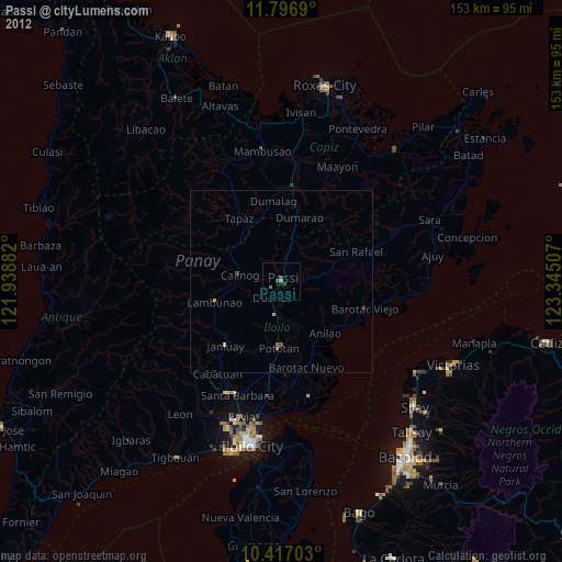
99%Clear (daylight) street map image can be seen on geolist.org.
Map coordinates:
11° 47' 48.8" North, 121° 56' 19.8" East
11° 6' 28" North, 122° 38' 31" East
10° 25' 1.3" North, 123° 20' 42.3" East
Some cities around Passi sort by population:
• Janiuay
23 km =14.3 mi,  220°
220°
• Barotac Nuevo
24.7 km =15.3 mi,  163°
163°
• Pototan
18.3 km =11.4 mi,  182°
182°
• Barotac Viejo
24.1 km =15 mi,  107°
107°
• Dingle
12.5 km =7.8 mi,  165°
165°
• Calinog
8.3 km =5.2 mi,  276°
276°
• Lambunao
19 km =11.8 mi,  252°
252°
• Tumcon Ilawod
21.4 km =13.3 mi, 172°
1694498 (p: 42,794)
Sources (retrieved 2019-11-25):
» Earth at Night: Flat Maps 2012, 2016