Lambunao night lights from space
Night Light of Lambunao (Western Visayas) from space (Philippines) Src. Average luminocity for 10x10km area is 0.8615% and for 50x50km: 0.5582%.
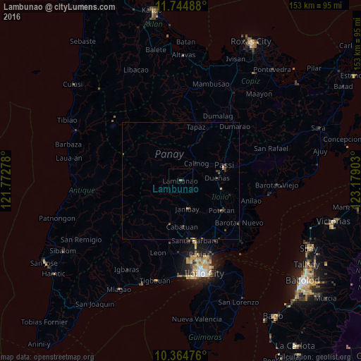
Analysis of Lambunao night lights 2016
Square area 10x10 km:
 0%
0%90-99
0%80-89
0%70-79
0%60-69
0.87%50-59
0%40-49
0%30-39
0.87%20-29
0%10-19
0%0-9
98.27%Square area 50x50 km:
0%90-99
0%80-89
0.05%70-79
0.14%60-69
0.1%50-59
0.07%40-49
0.13%30-39
0.34%20-29
0.16%10-19
0.07%0-9
98.95%Clear (daylight) street map image can be seen on geolist.org.
Map coordinates:
11° 44' 41.6" North, 121° 46' 22" East
11° 3' 20.3" North, 122° 28' 33.2" East
10° 21' 53.1" North, 123° 10' 44.5" East
Some cities around Lambunao sort by population:
• Passi
19 km =11.8 mi,  72°
72°
• Janiuay
12.3 km =7.6 mi,  164°
164°
• Pototan
21.4 km =13.3 mi,  125°
125°
• Alimodian
26.5 km =16.5 mi,  190°
190°
• Dingle
22.2 km =13.8 mi,  106°
106°
• Cabatuan
19.6 km =12.2 mi,  176°
176°
• Calinog
12 km =7.5 mi,  55°
55°
• Tumcon Ilawod
25.9 km =16.1 mi, 126°
1707799 (p: 5,500)
Sources (retrieved 2019-11-25):
» Earth at Night: Flat Maps 2012, 2016