Dingle night lights from space
Night Light of Dingle (Western Visayas) from space (Philippines) Src. Average luminocity for 10x10km area is 1.1472% and for 50x50km: 1.2815%.
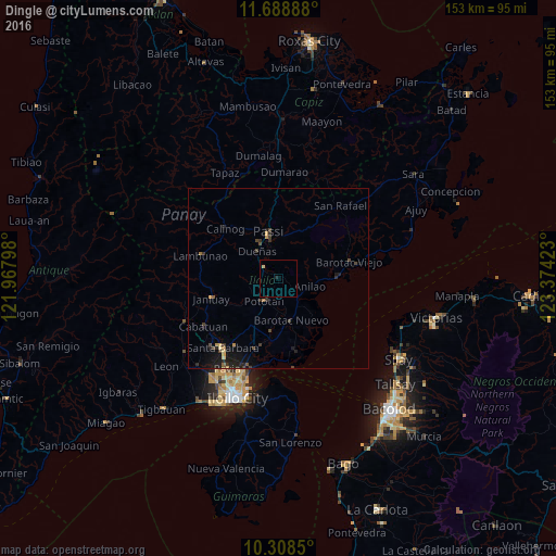
Analysis of Dingle night lights 2016
Square area 10x10 km:
 0%
0%90-99
0%80-89
0.87%70-79
0%60-69
0%50-59
0%40-49
0%30-39
0%20-29
0.87%10-19
0%0-9
98.27%Square area 50x50 km:
0%90-99
0.01%80-89
0.18%70-79
0.2%60-69
0.12%50-59
0.07%40-49
0.39%30-39
0.44%20-29
0.54%10-19
1.37%0-9
96.69%Clear (daylight) street map image can be seen on geolist.org.
Map coordinates:
11° 41' 20" North, 121° 58' 4.7" East
10° 59' 58.2" North, 122° 40' 16" East
10° 18' 30.6" North, 123° 22' 27.2" East
Some cities around Dingle sort by population:
• Passi
12.5 km =7.8 mi,  345°
345°
• Janiuay
18.9 km =11.7 mi,  252°
252°
• Barotac Nuevo
12.3 km =7.6 mi,  162°
162°
• Pototan
7.3 km =4.5 mi,  212°
212°
• Dumangas
19.9 km =12.4 mi,  166°
166°
• Barotac Viejo
20.3 km =12.6 mi,  76°
76°
• Calinog
17.3 km =10.7 mi,  318°
318°
• Tumcon Ilawod
9.2 km =5.7 mi,  183°
183°
1714733 (p: 6,172)
Sources (retrieved 2019-11-25):
» Earth at Night: Flat Maps 2012, 2016