Tumcon Ilawod night lights from space
Night Light of Tumcon Ilawod (Western Visayas) from space (Philippines) Src. Average luminocity for 10x10km area is 1.7489% and for 50x50km: 4.2872%.
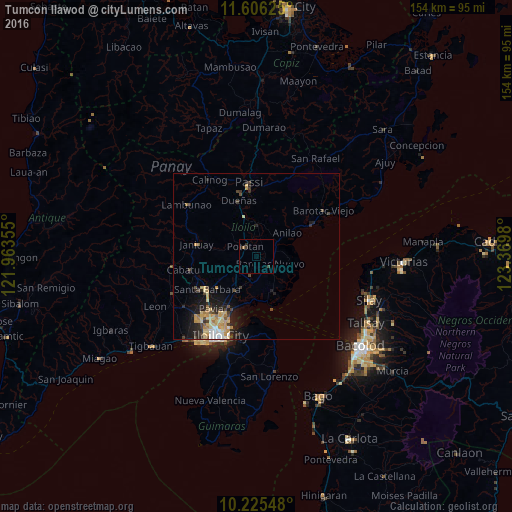
Analysis of Tumcon Ilawod night lights 2016
Square area 10x10 km:
 0%
0%90-99
0%80-89
0%70-79
0%60-69
0.87%50-59
0%40-49
0.43%30-39
1.73%20-29
1.3%10-19
0%0-9
95.67%Square area 50x50 km:
0.35%90-99
0.31%80-89
1.06%70-79
1.03%60-69
0.44%50-59
0.2%40-49
0.77%30-39
0.71%20-29
1.21%10-19
2.86%0-9
91.07%Clear (daylight) street map image can be seen on geolist.org.
Map coordinates:
11° 36' 22.5" North, 121° 57' 48.8" East
10° 55' 0" North, 122° 40' 0" East
10° 13' 31.7" North, 123° 22' 11.3" East
Some cities around Tumcon Ilawod sort by population:
• Janiuay
17.9 km =11.1 mi,  281°
281°
• Barotac Nuevo
4.8 km =3 mi,  121°
121°
• Pototan
4.6 km =2.9 mi,  311°
311°
• Dumangas
11.4 km =7.1 mi,  153°
153°
• Santa Barbara
17.8 km =11.1 mi,  234°
234°
• Dingle
9.2 km =5.7 mi,  3°
3°
• Cabatuan
20.2 km =12.6 mi,  258°
258°
• Pavia
20.5 km =12.7 mi,  220°
220°
1680735 (p: 5,067)
Sources (retrieved 2019-11-25):
» Earth at Night: Flat Maps 2012, 2016