Paringao night lights from space
Night Light of Paringao (Ilocos) from space (Philippines) Src. Average luminocity for 10x10km area is 17.7835% and for 50x50km: 1.8226%.
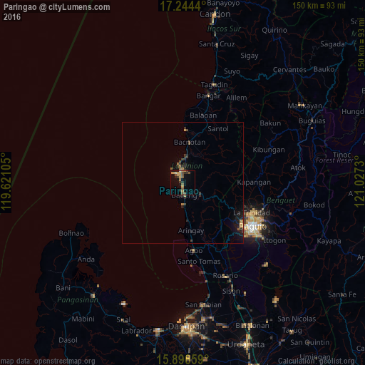
Analysis of Paringao night lights 2016
Square area 10x10 km:
 0.22%
0.22%90-99
1.08%80-89
2.6%70-79
5.19%60-69
1.73%50-59
4.11%40-49
4.11%30-39
2.16%20-29
3.9%10-19
5.19%0-9
69.7%Square area 50x50 km:
0.02%90-99
0.05%80-89
0.13%70-79
0.41%60-69
0.29%50-59
0.28%40-49
0.36%30-39
0.35%20-29
0.62%10-19
1.43%0-9
96.07%Clear (daylight) street map image can be seen on geolist.org.
Map coordinates:
17° 14' 39.8" North, 119° 37' 15.8" East
16° 34' 18" North, 120° 19' 27" East
15° 53' 47.7" North, 121° 1' 38.3" East
Some cities around Paringao sort by population:
• Baguio
33.5 km =20.8 mi,  121°
121°
• San Fernando
5 km =3.1 mi,  350°
350°
• La Trinidad
30.9 km =19.2 mi,  114°
114°
• Aringay
20 km =12.4 mi,  170°
170°
• Bauang
4.6 km =2.9 mi, 168°
• Payocpoc Sur
8.6 km =5.3 mi,  177°
177°
• Rimus
34.7 km =21.6 mi,  12°
12°
• Lloren
28.9 km =18 mi,  156°
156°
1694667 (p: 6,570)
Sources (retrieved 2019-11-25):
» Earth at Night: Flat Maps 2012, 2016