San Fernando night lights from space
Night Light of San Fernando (Ilocos) from space (Philippines) Src. Average luminocity for 10x10km area is 21.3095% and for 50x50km: 1.5965%.
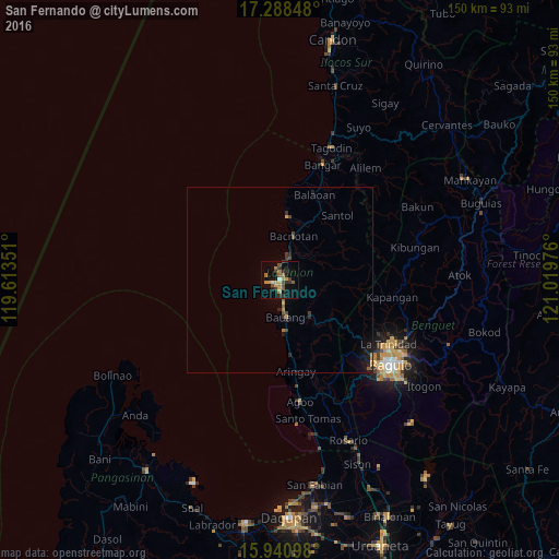
Analysis of San Fernando night lights 2016
Square area 10x10 km:
 0.43%
0.43%90-99
1.3%80-89
1.95%70-79
5.84%60-69
4.55%50-59
3.03%40-49
3.68%30-39
4.11%20-29
6.28%10-19
9.52%0-9
59.31%Square area 50x50 km:
0.02%90-99
0.05%80-89
0.1%70-79
0.35%60-69
0.26%50-59
0.27%40-49
0.33%30-39
0.32%20-29
0.53%10-19
1.05%0-9
96.73%Clear (daylight) street map image can be seen on geolist.org.
Map coordinates:
17° 17' 18.5" North, 119° 36' 48.6" East
16° 36' 57.3" North, 120° 18' 59.9" East
15° 56' 27.5" North, 121° 1' 11.1" East
Some cities around San Fernando sort by population:
• La Trinidad
34 km =21.1 mi,  121°
121°
• Aringay
25 km =15.5 mi,  170°
170°
• Bauang
9.6 km =6 mi, 169°
• Payocpoc Sur
13.6 km =8.5 mi, 174°
• Bangar
32.9 km =20.4 mi,  20°
20°
• Rimus
30.2 km =18.8 mi, 16°
• Paringao
5 km =3.1 mi, 170°
• Lloren
33.8 km =21 mi,  158°
158°
1690033 (p: 83,003)
Sources (retrieved 2019-11-25):
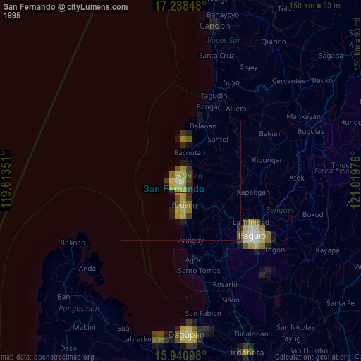
» NASA, Earths city lights 1995
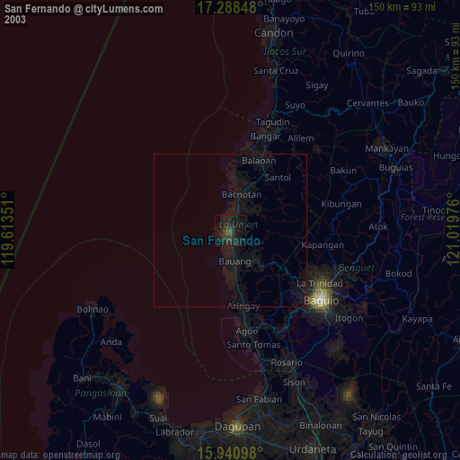
» NASA city lights 2003
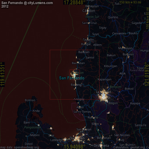
» Earth at Night: Flat Maps 2012, 2016