La Trinidad night lights from space
Night Light of La Trinidad (Cordillera) from space (Philippines) Src. Average luminocity for 10x10km area is 46.2583% and for 50x50km: 4.013%.
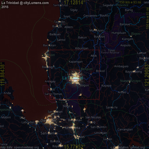
Analysis of La Trinidad night lights 2016
Square area 10x10 km:
 5.79%
5.79%90-99
5.58%80-89
8.47%70-79
19.42%60-69
4.75%50-59
0.83%40-49
7.44%30-39
3.31%20-29
8.06%10-19
21.07%0-9
15.29%Square area 50x50 km:
0.35%90-99
0.37%80-89
0.67%70-79
1.26%60-69
0.37%50-59
0.28%40-49
0.52%30-39
0.38%20-29
1.01%10-19
3.22%0-9
91.57%Clear (daylight) street map image can be seen on geolist.org.
Map coordinates:
17° 7' 41.3" North, 119° 53' 3.8" East
16° 27' 18" North, 120° 35' 15" East
15° 46' 46.3" North, 121° 17' 26.3" East
Some cities around La Trinidad sort by population:
• Baguio
4.3 km =2.7 mi,  172°
172°
• Aringay
25.8 km =16 mi,  254°
254°
• Itogon
13.9 km =8.6 mi,  136°
136°
• Kibungan
27.6 km =17.1 mi,  15°
15°
• Tuding
7.6 km =4.7 mi,  130°
130°
• Subusub
27.2 km =16.9 mi,  201°
201°
• Loacan
13.5 km =8.4 mi,  38°
38°
• Lloren
21.3 km =13.2 mi,  230°
230°
1707123 (p: 41,258)
Sources (retrieved 2019-11-25):
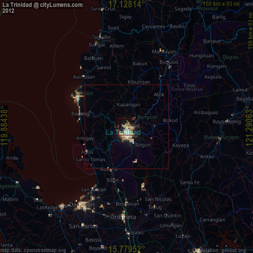
» Earth at Night: Flat Maps 2012, 2016