Nilombot night lights from space
Night Light of Nilombot (Ilocos) from space (Philippines) Src. Average luminocity for 10x10km area is 14.4215% and for 50x50km: 5.8319%.
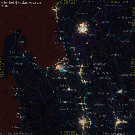
Analysis of Nilombot night lights 2016
Square area 10x10 km:
 0%
0%90-99
0%80-89
0.21%70-79
3.1%60-69
1.24%50-59
3.72%40-49
5.17%30-39
5.37%20-29
2.27%10-19
15.29%0-9
63.64%Square area 50x50 km:
0.07%90-99
0.06%80-89
0.5%70-79
1.3%60-69
1.11%50-59
0.74%40-49
1.65%30-39
1.68%20-29
1.36%10-19
3.54%0-9
88%Clear (daylight) street map image can be seen on geolist.org.
Map coordinates:
16° 42' 18.8" North, 119° 44' 1.4" East
16° 1' 50.2" North, 120° 26' 12.7" East
15° 21' 13.3" North, 121° 8' 23.9" East
Some cities around Nilombot sort by population:
• Mangaldan
5.7 km =3.5 mi,  320°
320°
• Manaoag
5.5 km =3.4 mi,  74°
74°
• Calasiao
8.5 km =5.3 mi,  255°
255°
• Santa Barbara
5 km =3.1 mi,  228°
228°
• Mapandan
2 km =1.2 mi,  108°
108°
• San Jacinto
4.7 km =2.9 mi,  1°
1°
• Minien East
7.6 km =4.7 mi,  141°
141°
• Catablan
8.7 km =5.4 mi,  134°
134°
1697675 (p: 7,605)
Sources (retrieved 2019-11-25):
» Earth at Night: Flat Maps 2012, 2016