Manaoag night lights from space
Night Light of Manaoag (Ilocos) from space (Philippines) Src. Average luminocity for 10x10km area is 5.564% and for 50x50km: 5.6573%.
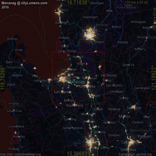
Analysis of Manaoag night lights 2016
Square area 10x10 km:
 0%
0%90-99
0%80-89
0%70-79
0%60-69
1.65%50-59
0.41%40-49
3.1%30-39
1.45%20-29
1.65%10-19
1.24%0-9
90.5%Square area 50x50 km:
0.06%90-99
0.04%80-89
0.51%70-79
1.23%60-69
1.12%50-59
0.69%40-49
1.47%30-39
1.69%20-29
1.33%10-19
3.53%0-9
88.32%Clear (daylight) street map image can be seen on geolist.org.
Map coordinates:
16° 43' 6.2" North, 119° 46' 58.7" East
16° 2' 37.7" North, 120° 29' 10" East
15° 22' 0.9" North, 121° 11' 21.2" East
Some cities around Manaoag sort by population:
• Mangaldan
9.4 km =5.8 mi,  288°
288°
• Santa Barbara
10.1 km =6.3 mi,  241°
241°
• Mapandan
4 km =2.5 mi, 237°
• San Jacinto
6 km =3.7 mi,  302°
302°
• Binalonan
11.4 km =7.1 mi,  86°
86°
• Nilombot
5.5 km =3.4 mi,  254°
254°
• Minien East
7.4 km =4.6 mi,  183°
183°
• Catablan
7.6 km =4.7 mi,  172°
172°
1702096 (p: 59,115)
Sources (retrieved 2019-11-25):
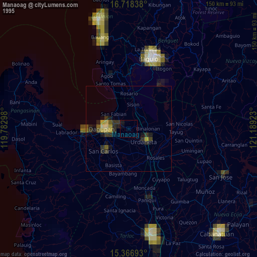
» NASA, Earths city lights 1995
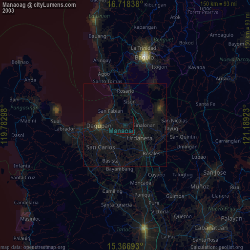
» NASA city lights 2003
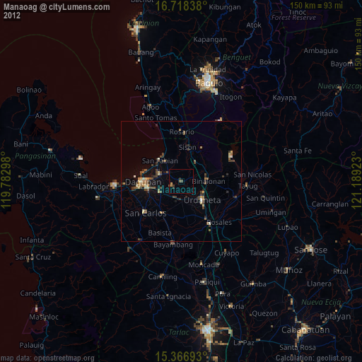
» Earth at Night: Flat Maps 2012, 2016