Lucena night lights from space
Night Light of Lucena (Calabarzon) from space (Philippines) Src. Average luminocity for 10x10km area is 29.8574% and for 50x50km: 3.279%.
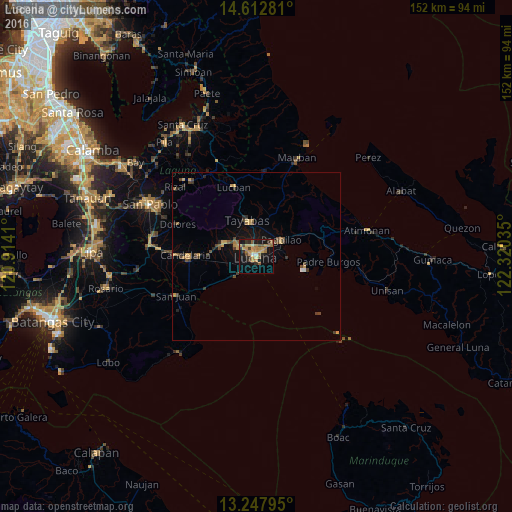
Analysis of Lucena night lights 2016
Square area 10x10 km:
 1.03%
1.03%90-99
0.62%80-89
3.72%70-79
10.95%60-69
8.06%50-59
4.55%40-49
3.31%30-39
3.51%20-29
5.17%10-19
28.93%0-9
30.17%Square area 50x50 km:
0.09%90-99
0.04%80-89
0.29%70-79
0.99%60-69
0.54%50-59
0.5%40-49
0.77%30-39
0.64%20-29
0.56%10-19
2.24%0-9
93.33%Clear (daylight) street map image can be seen on geolist.org.
Map coordinates:
14° 36' 46.1" North, 120° 54' 50.8" East
13° 55' 53" North, 121° 37' 2" East
13° 14' 52.6" North, 122° 19' 13.3" East
Some cities around Lucena sort by population:
• Sariaya
10.4 km =6.5 mi,  289°
289°
• Pagbilao
9.6 km =6 mi,  65°
65°
• Tayabas
10.8 km =6.7 mi,  345°
345°
• Bignay Uno
15.8 km =9.8 mi,  241°
241°
• Castañas
9.4 km =5.8 mi,  227°
227°
• Mamala
14.4 km =8.9 mi,  311°
311°
• Guisguis
12.4 km =7.7 mi, 238°
• Janagdong
11.6 km =7.2 mi,  254°
254°
1705357 (p: 228,758)
Sources (retrieved 2019-11-25):
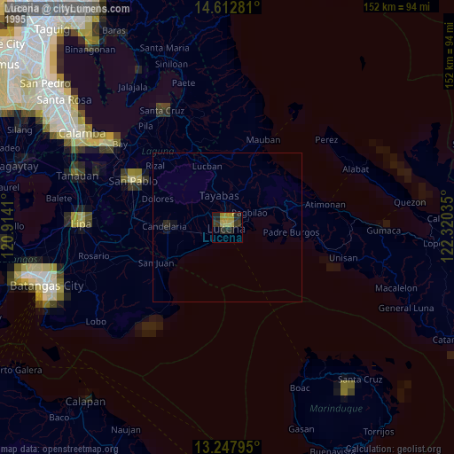
» NASA, Earths city lights 1995
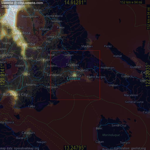
» NASA city lights 2003
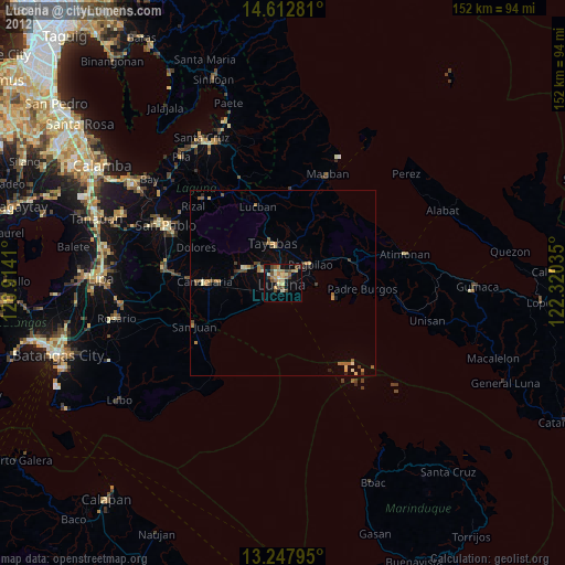
» Earth at Night: Flat Maps 2012, 2016