Alabat night lights from space
Night Light of Alabat (Calabarzon) from space (Philippines) Src. Average luminocity for 10x10km area is 0.6299% and for 50x50km: 0.231%.
Analysis of Alabat night lights 2016
Square area 10x10 km:
 0%
0%90-99
0%80-89
0%70-79
0%60-69
0%50-59
0%40-49
0%30-39
0.87%20-29
0.87%10-19
0%0-9
98.27%Square area 50x50 km:
0%90-99
0%80-89
0.07%70-79
0.03%60-69
0%50-59
0%40-49
0%30-39
0.13%20-29
0.27%10-19
0.1%0-9
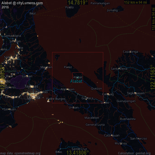
99.4%Clear (daylight) street map image can be seen on geolist.org.
Map coordinates:
14° 46' 54.8" North, 121° 18' 33.8" East
14° 6' 3.6" North, 122° 0' 45" East
13° 25' 5" North, 122° 42' 56.3" East
Some cities around Alabat sort by population:
• Mauban
32 km =19.9 mi,  288°
288°
• Atimonan
14.7 km =9.1 mi,  222°
222°
• Gumaca
22.1 km =13.7 mi,  154°
154°
• Calauag
33.7 km =20.9 mi,  118°
118°
• Cagsiay
31.1 km =19.3 mi, 294°
• Malinao Ilaya
22.3 km =13.9 mi,  238°
238°
• Quezon
21.3 km =13.2 mi, 119°
• Malicboy
27.5 km =17.1 mi, 241°
1731749 (p: 7,910)
Sources (retrieved 2019-11-25):
» Earth at Night: Flat Maps 2012, 2016