La Castellana night lights from space
Night Light of La Castellana (Western Visayas) from space (Philippines) Src. Average luminocity for 10x10km area is 0.4421% and for 50x50km: 1.2883%.
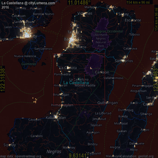
Analysis of La Castellana night lights 2016
Square area 10x10 km:
 0%
0%90-99
0%80-89
0%70-79
0%60-69
0%50-59
0.83%40-49
0%30-39
0%20-29
0%10-19
0%0-9
99.17%Square area 50x50 km:
0.01%90-99
0.09%80-89
0.19%70-79
0.22%60-69
0.24%50-59
0.26%40-49
0.29%30-39
0.38%20-29
0.33%10-19
0.13%0-9
97.86%Clear (daylight) street map image can be seen on geolist.org.
Map coordinates:
11° 0' 53.5" North, 122° 19' 6.2" East
10° 19' 26" North, 123° 1' 17.4" East
9° 37' 53.1" North, 123° 43' 28.7" East
Some cities around La Castellana sort by population:
• Tinongan
12.2 km =7.6 mi,  172°
172°
• Isabela
13.7 km =8.5 mi,  195°
195°
• Sagang
6.9 km =4.3 mi,  53°
53°
• Miranda
15.9 km =9.9 mi,  262°
262°
• Antipolo
7.2 km =4.5 mi,  300°
300°
• Cabacungan
12.2 km =7.6 mi,  90°
90°
• Santol
17.1 km =10.6 mi,  189°
189°
• La Granja
10 km =6.2 mi,  339°
339°
1708217 (p: 24,407)
Sources (retrieved 2019-11-25):
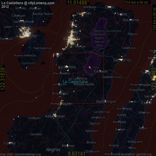
» Earth at Night: Flat Maps 2012, 2016