Miranda night lights from space
Night Light of Miranda (Western Visayas) from space (Philippines) Src. Average luminocity for 10x10km area is 1.2603% and for 50x50km: 1.128%.
Analysis of Miranda night lights 2016
Square area 10x10 km:
 0%
0%90-99
0%80-89
0%70-79
0.83%60-69
0%50-59
0%40-49
0.21%30-39
1.45%20-29
0%10-19
0%0-9
97.52%Square area 50x50 km:
0.01%90-99
0.09%80-89
0.18%70-79
0.19%60-69
0.15%50-59
0.22%40-49
0.27%30-39
0.34%20-29
0.25%10-19
0.12%0-9
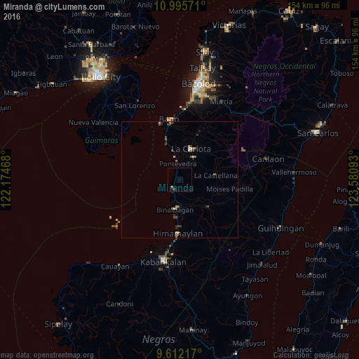
98.18%Clear (daylight) street map image can be seen on geolist.org.
Map coordinates:
10° 59' 44.6" North, 122° 10' 28.8" East
10° 18' 16.9" North, 122° 52' 40.1" East
9° 36' 43.8" North, 123° 34' 51.3" East
Some cities around Miranda sort by population:
• La Carlota
14.1 km =8.8 mi,  19°
19°
• Hinigaran
4.8 km =3 mi,  218°
218°
• Binalbagan
12.4 km =7.7 mi,  190°
190°
• La Castellana
15.9 km =9.9 mi,  82°
82°
• San Enrique
12.7 km =7.9 mi,  346°
346°
• Payao
14.9 km =9.3 mi,  160°
160°
• Pontevedra
7.8 km =4.8 mi, 352°
• Antipolo
11.1 km =6.9 mi,  58°
58°
1699505 (p: 8,040)
Sources (retrieved 2019-11-25):
» Earth at Night: Flat Maps 2012, 2016