La Granja night lights from space
Night Light of La Granja (Western Visayas) from space (Philippines) Src. Average luminocity for 10x10km area is 0.4401% and for 50x50km: 2.3652%.
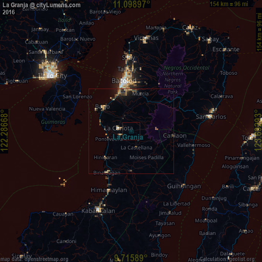
Analysis of La Granja night lights 2016
Square area 10x10 km:
 0%
0%90-99
0%80-89
0%70-79
0%60-69
0%50-59
0%40-49
0%30-39
0%20-29
0%10-19
0%0-9
100%Square area 50x50 km:
0.01%90-99
0.09%80-89
0.41%70-79
0.43%60-69
0.43%50-59
0.33%40-49
0.61%30-39
0.55%20-29
0.69%10-19
1.21%0-9
95.24%Clear (daylight) street map image can be seen on geolist.org.
Map coordinates:
11° 5' 56.3" North, 122° 17' 12" East
10° 24' 29.5" North, 122° 59' 23.3" East
9° 42' 57.2" North, 123° 41' 34.5" East
Some cities around La Granja sort by population:
• La Carlota
7.7 km =4.8 mi,  283°
283°
• Maao
9.1 km =5.7 mi,  0°
0°
• La Castellana
10 km =6.2 mi,  159°
159°
• San Enrique
15.3 km =9.5 mi,  273°
273°
• Sagang
10.4 km =6.5 mi,  120°
120°
• Pontevedra
13.8 km =8.6 mi,  254°
254°
• Antipolo
6.4 km =4 mi,  205°
205°
• Napoles
14.6 km =9.1 mi,  316°
316°
1708073 (p: 5,277)
Sources (retrieved 2019-11-25):
» Earth at Night: Flat Maps 2012, 2016