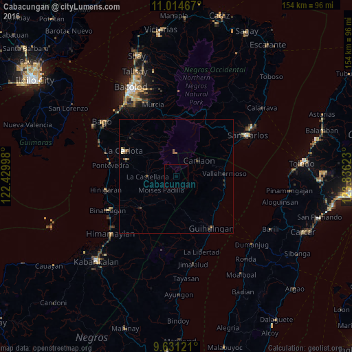
Cabacungan night lights from space
Night Light of Cabacungan (Western Visayas) from space (Philippines) Src. Average luminocity for 10x10km area is 0% and for 50x50km: 0.5872%.
Analysis of Cabacungan night lights 2016
Square area 10x10 km:
 0%
0%90-99
0%80-89
0%70-79
0%60-69
0%50-59
0%40-49
0%30-39
0%20-29
0%10-19
0%0-9
100%Square area 50x50 km:
0.01%90-99
0.09%80-89
0.07%70-79
0.02%60-69
0.13%50-59
0.19%40-49
0.1%30-39
0.1%20-29
0.24%10-19
0.09%0-9
98.96%Clear (daylight) street map image can be seen on geolist.org.
Map coordinates:
11° 0' 52.8" North, 122° 25' 47.9" East
10° 19' 25.3" North, 123° 7' 59.2" East
9° 37' 52.4" North, 123° 50' 10.4" East
Some cities around Cabacungan sort by population:
• Tinongan
16.1 km =10 mi,  221°
221°
• Canlaon
12.1 km =7.5 mi,  54°
54°
• La Castellana
12.2 km =7.6 mi,  270°
270°
• Codcod
20.1 km =12.5 mi,  39°
39°
• Quezon
18.7 km =11.6 mi, 48°
• Sagang
7.9 km =4.9 mi,  302°
302°
• Antipolo
18.8 km =11.7 mi,  281°
281°
• La Granja
18.3 km =11.4 mi, 300°
1722039 (p: 7,200)
Sources (retrieved 2019-11-25):
» Earth at Night: Flat Maps 2012, 2016