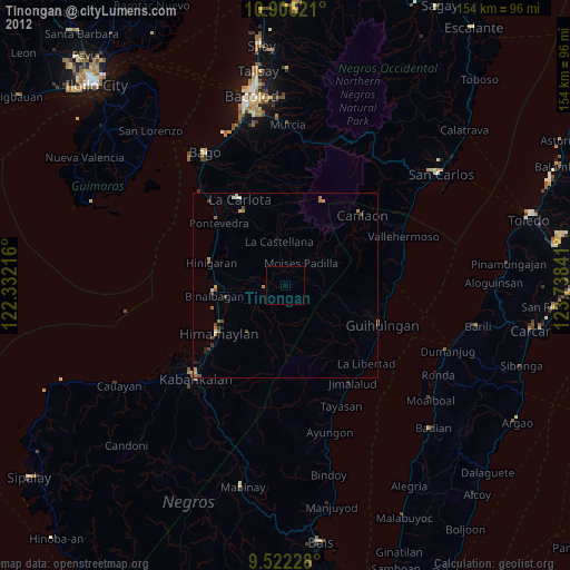
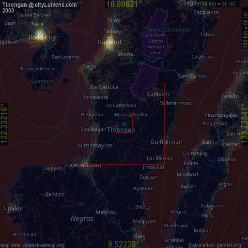
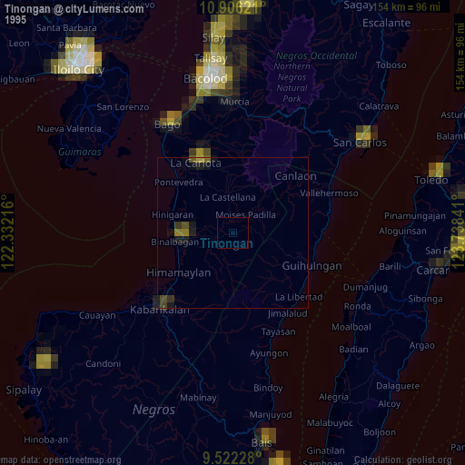
Tinongan night lights from space
Night Light of Tinongan (Western Visayas) from space (Philippines) Src. Average luminocity for 10x10km area is 0.2025% and for 50x50km: 1.4391%.
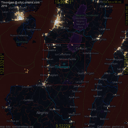
Analysis of Tinongan night lights 2016
Square area 10x10 km:
 0%
0%90-99
0%80-89
0%70-79
0%60-69
0%50-59
0%40-49
0.41%30-39
0%20-29
0%10-19
0%0-9
99.59%Square area 50x50 km:
0.04%90-99
0.16%80-89
0.18%70-79
0.19%60-69
0.24%50-59
0.3%40-49
0.37%30-39
0.5%20-29
0.21%10-19
0.12%0-9
97.69%Clear (daylight) street map image can be seen on geolist.org.
Map coordinates:
10° 54' 22.4" North, 122° 19' 55.8" East
10° 12' 54" North, 123° 2' 7" East
9° 31' 20.2" North, 123° 44' 18.3" East
Some cities around Tinongan sort by population:
• La Castellana
12.2 km =7.6 mi,  352°
352°
• Isabela
5.2 km =3.2 mi,  257°
257°
• Payao
12.9 km =8 mi,  251°
251°
• Sagang
16.8 km =10.4 mi,  13°
13°
• Carabalan
16.4 km =10.2 mi,  216°
216°
• Cabacungan
16.1 km =10 mi,  41°
41°
• Biao
13.4 km =8.3 mi,  208°
208°
• Santol
6.5 km =4 mi, 223°
1681766 (p: 62,146)
Sources (retrieved 2019-11-25):
» NASA, Earths city lights 1995
» NASA city lights 2003
» Earth at Night: Flat Maps 2012, 2016