Isabela night lights from space
Night Light of Isabela (Western Visayas) from space (Philippines) Src. Average luminocity for 10x10km area is 0.5537% and for 50x50km: 1.5947%.
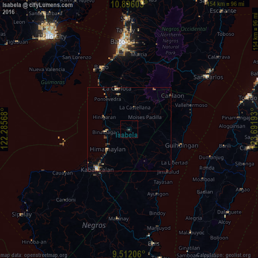
Analysis of Isabela night lights 2016
Square area 10x10 km:
 0%
0%90-99
0%80-89
0%70-79
0%60-69
0%50-59
0%40-49
0.83%30-39
0%20-29
0%10-19
0.83%0-9
98.35%Square area 50x50 km:
0.06%90-99
0.18%80-89
0.19%70-79
0.24%60-69
0.24%50-59
0.3%40-49
0.44%30-39
0.53%20-29
0.13%10-19
0.12%0-9
97.56%Clear (daylight) street map image can be seen on geolist.org.
Map coordinates:
10° 53' 45.7" North, 122° 17' 8.4" East
10° 12' 17.3" North, 122° 59' 19.7" East
9° 30' 43.4" North, 123° 41' 30.9" East
Some cities around Isabela sort by population:
• Tinongan
5.2 km =3.2 mi,  77°
77°
• Binalbagan
14.3 km =8.9 mi,  265°
265°
• La Castellana
13.7 km =8.5 mi,  15°
15°
• Aguisan
14.8 km =9.2 mi,  250°
250°
• Payao
7.7 km =4.8 mi, 247°
• Carabalan
12.9 km =8 mi,  201°
201°
• Biao
10.7 km =6.6 mi,  186°
186°
• Santol
3.6 km =2.2 mi,  169°
169°
1710518 (p: 15,897)
Sources (retrieved 2019-11-25):
» Earth at Night: Flat Maps 2012, 2016