Dumangas night lights from space
Night Light of Dumangas (Western Visayas) from space (Philippines) Src. Average luminocity for 10x10km area is 0.3398% and for 50x50km: 5.7048%.
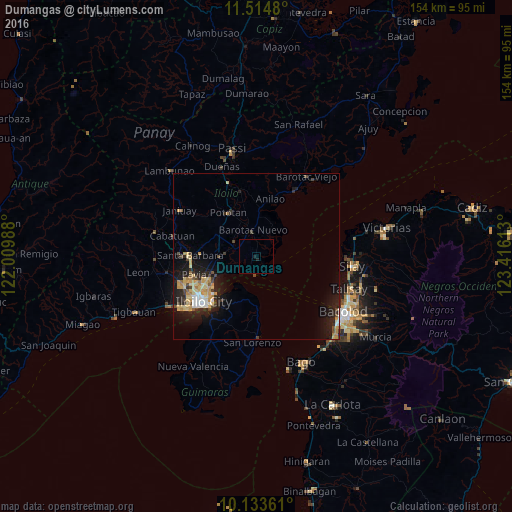
Analysis of Dumangas night lights 2016
Square area 10x10 km:
 0%
0%90-99
0%80-89
0%70-79
0%60-69
0%50-59
0%40-49
0%30-39
0%20-29
0.43%10-19
1.3%0-9
98.27%Square area 50x50 km:
0.44%90-99
0.55%80-89
1.33%70-79
1.21%60-69
0.53%50-59
0.28%40-49
0.9%30-39
0.61%20-29
1.9%10-19
5.19%0-9
87.06%Clear (daylight) street map image can be seen on geolist.org.
Map coordinates:
11° 30' 53.3" North, 122° 0' 35.6" East
10° 49' 30" North, 122° 42' 46.8" East
10° 8' 1" North, 123° 24' 58.1" East
Some cities around Dumangas sort by population:
• Barotac Nuevo
7.7 km =4.8 mi,  353°
353°
• Pototan
15.7 km =9.8 mi,  327°
327°
• Santa Barbara
19.5 km =12.1 mi,  269°
269°
• Dingle
19.9 km =12.4 mi, 346°
• Pavia
19.1 km =11.9 mi,  253°
253°
• Ungca
19.7 km =12.2 mi,  244°
244°
• Salvacion
18.9 km =11.7 mi,  213°
213°
• Tumcon Ilawod
11.4 km =7.1 mi, 333°
1714168 (p: 8,959)
Sources (retrieved 2019-11-25):
» Earth at Night: Flat Maps 2012, 2016