Lasang night lights from space
Night Light of Lasang (Davao) from space (Philippines) Src. Average luminocity for 10x10km area is 25.2035% and for 50x50km: 11.3445%.
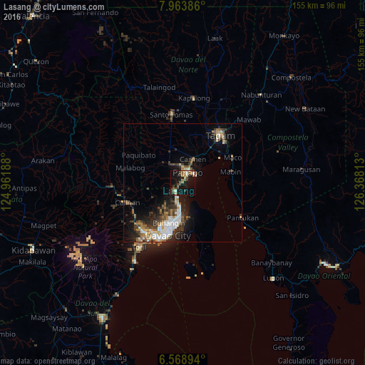
Analysis of Lasang night lights 2016
Square area 10x10 km:
100  2.38%
2.38%
90-99 0.87%
80-89 4.33%
70-79 3.25%
60-69 3.68%
50-59 5.63%
40-49 5.19%
30-39 3.9%
20-29 1.52%
10-19 34.42%
0-9 34.85%
2.38%90-99
0.87%80-89
4.33%70-79
3.25%60-69
3.68%50-59
5.63%40-49
5.19%30-39
3.9%20-29
1.52%10-19
34.42%0-9
34.85%Square area 50x50 km:
100 2.11%
90-99 1.8%
80-89 1.05%
70-79 1.02%
60-69 1.47%
50-59 1.61%
40-49 1.57%
30-39 2.29%
20-29 3.02%
10-19 6.84%
0-9 77.22%
2.11%90-99
1.8%80-89
1.05%70-79
1.02%60-69
1.47%50-59
1.61%40-49
1.57%30-39
2.29%20-29
3.02%10-19
6.84%0-9
77.22%Clear (daylight) street map image can be seen on geolist.org.
Map coordinates:
7° 57' 49.9" North, 124° 57' 42.8" East
7° 16' 1" North, 125° 39' 54" East
6° 34' 8.2" North, 126° 22' 5.3" East
Some cities around Lasang sort by population:
• Panabo
5 km =3.1 mi,  24°
24°
• Cabayangan
17.3 km =10.7 mi,  25°
25°
• Biao
19.6 km =12.2 mi,  234°
234°
• Carmen
11.4 km =7.1 mi, 23°
• Corocotan
19 km =11.8 mi,  38°
38°
• Alejal
13 km =8.1 mi,  357°
357°
• Tubod
11.9 km =7.4 mi,  349°
349°
• Cuambog
20.7 km =12.9 mi,  77°
77°
1707202 (p: 8,318)
Sources (retrieved 2019-11-25):
» Earth at Night: Flat Maps 2012, 2016