Dasmariñas night lights from space
Night Light of Dasmariñas (Calabarzon) from space (Philippines) Src. Average luminocity for 10x10km area is 70.4329% and for 50x50km: 36.601%.
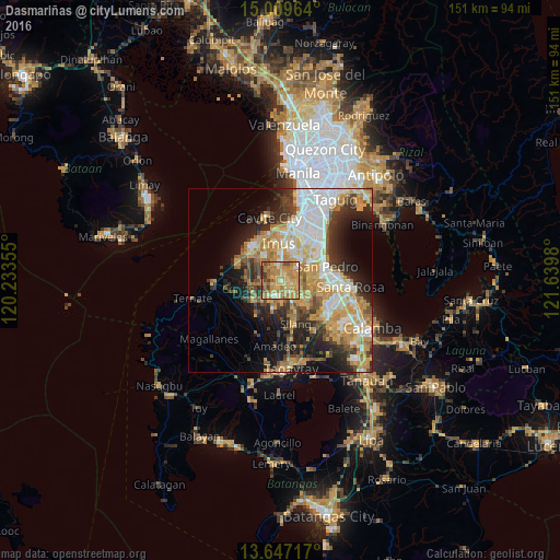
Analysis of Dasmariñas night lights 2016
Square area 10x10 km:
 2.6%
2.6%90-99
5.63%80-89
14.72%70-79
33.77%60-69
27.27%50-59
5.84%40-49
5.63%30-39
4.55%20-29
0%10-19
0%0-9
0%Square area 50x50 km:
6.46%90-99
6.56%80-89
4.47%70-79
9.71%60-69
6.45%50-59
2.78%40-49
4.11%30-39
4.6%20-29
6.69%10-19
10.42%0-9
37.74%Clear (daylight) street map image can be seen on geolist.org.
Map coordinates:
15° 0' 34.7" North, 120° 14' 0.8" East
14° 19' 46" North, 120° 56' 12" East
13° 38' 49.8" North, 121° 38' 23.3" East
Some cities around Dasmariñas sort by population:
• San Pedro
12.4 km =7.7 mi,  74°
74°
• Imus
11.2 km =7 mi,  0°
0°
• General Trias
8.7 km =5.4 mi,  317°
317°
• Bulihan
8.5 km =5.3 mi,  132°
132°
• Manggahan
5.6 km =3.5 mi,  222°
222°
• Paradahan
8.2 km =5.1 mi,  263°
263°
• Pasong Kawayan Primero
6.1 km =3.8 mi,  284°
284°
• Maguyam
10.4 km =6.5 mi,  135°
135°
1715430 (p: 441,876)
Sources (retrieved 2019-11-25):
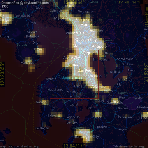
» NASA, Earths city lights 1995
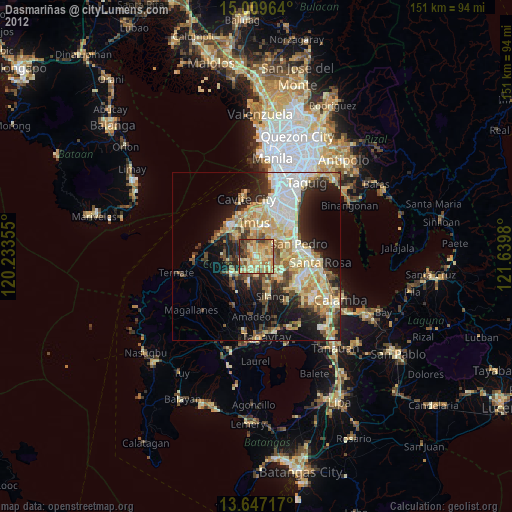
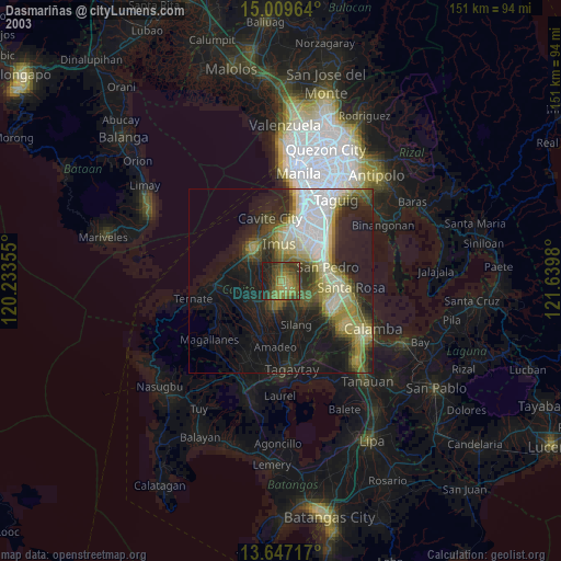
» NASA city lights 2003
» Earth at Night: Flat Maps 2012, 2016