Dagupan night lights from space
Night Light of Dagupan (Ilocos) from space (Philippines) Src. Average luminocity for 10x10km area is 34.5579% and for 50x50km: 4.4512%.
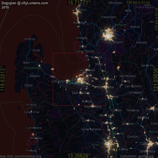
Analysis of Dagupan night lights 2016
Square area 10x10 km:
 1.03%
1.03%90-99
0.62%80-89
4.34%70-79
8.88%60-69
15.7%50-59
1.03%40-49
6.61%30-39
4.96%20-29
6.2%10-19
30.99%0-9
19.63%Square area 50x50 km:
0.08%90-99
0.05%80-89
0.27%70-79
0.88%60-69
0.83%50-59
0.63%40-49
1.31%30-39
1.36%20-29
1.08%10-19
3.26%0-9
90.24%Clear (daylight) street map image can be seen on geolist.org.
Map coordinates:
16° 43' 3.8" North, 119° 37' 48.5" East
16° 2' 35.3" North, 120° 19' 59.7" East
15° 21' 58.5" North, 121° 2' 11" East
Some cities around Dagupan sort by population:
• Mangaldan
8 km =5 mi,  68°
68°
• Lingayen
11.1 km =6.9 mi,  257°
257°
• Binmaley
7 km =4.3 mi, 260°
• Calasiao
4.6 km =2.9 mi,  141°
141°
• Santa Barbara
8.7 km =5.4 mi,  122°
122°
• San Jacinto
11.7 km =7.3 mi, 73°
• Nilombot
11.2 km =7 mi,  97°
97°
• Nagsaing
7 km =4.3 mi,  175°
175°
1716198 (p: 171,271)
Sources (retrieved 2019-11-25):
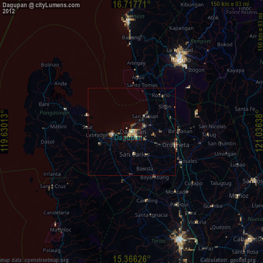
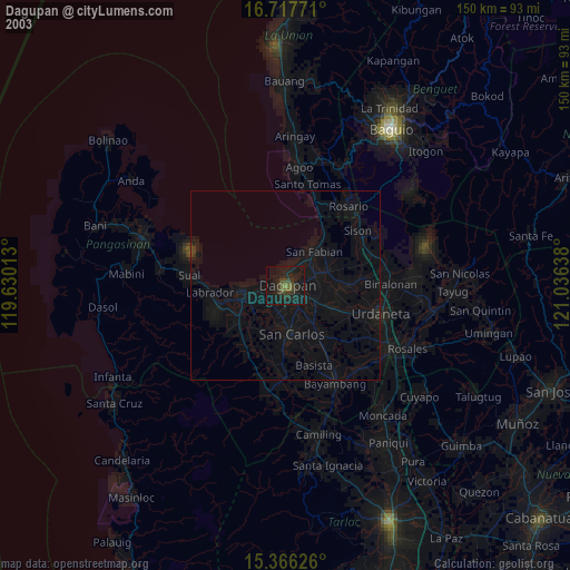
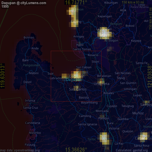
» NASA, Earths city lights 1995
» NASA city lights 2003
» Earth at Night: Flat Maps 2012, 2016