San Miguel night lights from space
Night Light of San Miguel (Central Luzon) from space (Philippines) Src. Average luminocity for 10x10km area is 36.2511% and for 50x50km: 6.4477%.
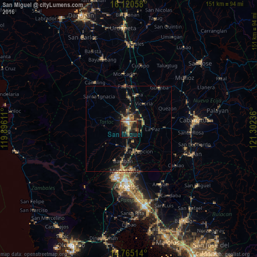
Analysis of San Miguel night lights 2016
Square area 10x10 km:
 1.08%
1.08%90-99
3.25%80-89
4.76%70-79
9.52%60-69
9.74%50-59
4.11%40-49
2.81%30-39
10.82%20-29
13.42%10-19
27.49%0-9
12.99%Square area 50x50 km:
0.08%90-99
0.25%80-89
0.51%70-79
1.3%60-69
1.55%50-59
0.86%40-49
1.33%30-39
1.6%20-29
1.99%10-19
5.72%0-9
84.81%Clear (daylight) street map image can be seen on geolist.org.
Map coordinates:
16° 7' 14.1" North, 119° 53' 46" East
15° 26' 38.3" North, 120° 35' 57.2" East
14° 45' 54.5" North, 121° 18' 8.5" East
Some cities around San Miguel sort by population:
• Tarlac City
4 km =2.5 mi,  358°
358°
• Capas
12.6 km =7.8 mi,  184°
184°
• Concepcion
14.6 km =9.1 mi,  154°
154°
• La Paz
13.9 km =8.6 mi,  91°
91°
• Cut-cut Primero
4.5 km =2.8 mi,  341°
341°
• Balingcanaway
10.2 km =6.3 mi,  65°
65°
• Mapalacsiao
6 km =3.7 mi,  106°
106°
• Murcia
4.5 km =2.8 mi,  166°
166°
1688949 (p: 18,582)
Sources (retrieved 2019-11-25):
» Earth at Night: Flat Maps 2012, 2016