Calamba night lights from space
Night Light of Calamba (Calabarzon) from space (Philippines) Src. Average luminocity for 10x10km area is 59.6558% and for 50x50km: 28.1636%.
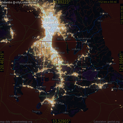
Analysis of Calamba night lights 2016
Square area 10x10 km:
 6.93%
6.93%90-99
14.5%80-89
7.58%70-79
14.72%60-69
14.72%50-59
8.01%40-49
2.38%30-39
3.25%20-29
13.85%10-19
12.77%0-9
1.3%Square area 50x50 km:
2.75%90-99
4.24%80-89
3.67%70-79
8.64%60-69
5.17%50-59
2.39%40-49
3.4%30-39
3.74%20-29
6.28%10-19
12.54%0-9
47.2%Clear (daylight) street map image can be seen on geolist.org.
Map coordinates:
14° 53' 32" North, 120° 27' 43.8" East
14° 12' 42" North, 121° 9' 55" East
13° 31' 44.6" North, 121° 52' 6.3" East
Some cities around Calamba sort by population:
• Cabuyao
8 km =5 mi,  328°
328°
• Santa Rosa
12.6 km =7.8 mi, 332°
• Pulong Santa Cruz
11.8 km =7.3 mi,  305°
305°
• Los Baños
9.4 km =5.8 mi,  119°
119°
• Santo Tomas
11.8 km =7.3 mi,  192°
192°
• Mamatid
2.7 km =1.7 mi,  345°
345°
• Pantay Na Matanda
11.5 km =7.1 mi,  204°
204°
• Bitin
12.2 km =7.6 mi,  150°
150°
1720681 (p: 316,612)
Sources (retrieved 2019-11-25):
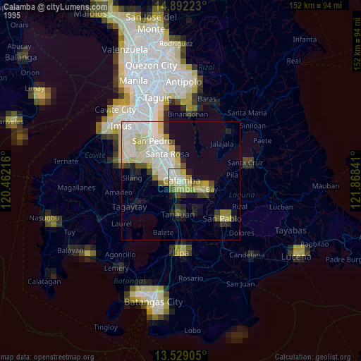
» NASA, Earths city lights 1995
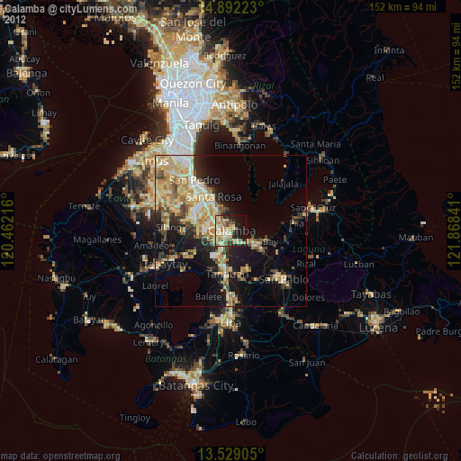
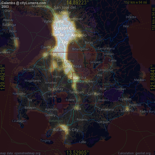
» NASA city lights 2003
» Earth at Night: Flat Maps 2012, 2016