Mamatid night lights from space
Night Light of Mamatid (Calabarzon) from space (Philippines) Src. Average luminocity for 10x10km area is 59.5065% and for 50x50km: 29.9716%.
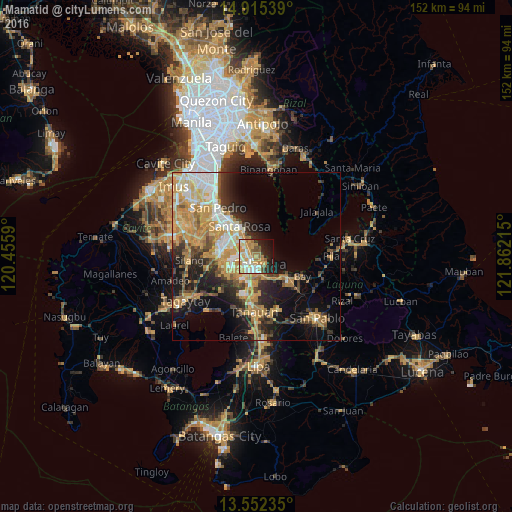
Analysis of Mamatid night lights 2016
Square area 10x10 km:
 7.14%
7.14%90-99
15.15%80-89
8.66%70-79
16.45%60-69
11.9%50-59
6.71%40-49
2.38%30-39
0.22%20-29
15.37%10-19
12.99%0-9
3.03%Square area 50x50 km:
3.25%90-99
4.99%80-89
3.94%70-79
8.8%60-69
5.42%50-59
2.43%40-49
3.46%30-39
3.83%20-29
6.29%10-19
12.54%0-9
45.04%Clear (daylight) street map image can be seen on geolist.org.
Map coordinates:
14° 54' 55.4" North, 120° 27' 21.2" East
14° 14' 5.6" North, 121° 9' 32.5" East
13° 33' 8.5" North, 121° 51' 43.7" East
Some cities around Mamatid sort by population:
• Calamba
2.7 km =1.7 mi,  165°
165°
• Cabuyao
5.5 km =3.4 mi,  319°
319°
• Santa Rosa
10 km =6.2 mi,  329°
329°
• Pulong Santa Cruz
9.9 km =6.2 mi,  295°
295°
• Los Baños
11.5 km =7.1 mi,  128°
128°
• Carmona
14 km =8.7 mi,  308°
308°
• Pantay Na Matanda
13.7 km =8.5 mi,  197°
197°
• Gulod
13.8 km =8.6 mi,  27°
27°
1702372 (p: 40,271)
Sources (retrieved 2019-11-25):
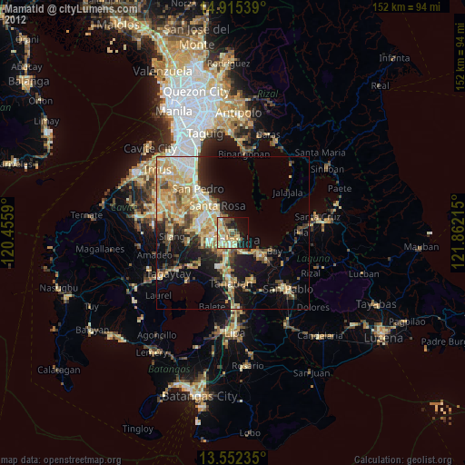
» Earth at Night: Flat Maps 2012, 2016