Butig night lights from space
Night Light of Butig (Autonomous Region in Muslim Mindanao) from space (Philippines) Src. Average luminocity for 10x10km area is 0.0062% and for 50x50km: 0.4293%.
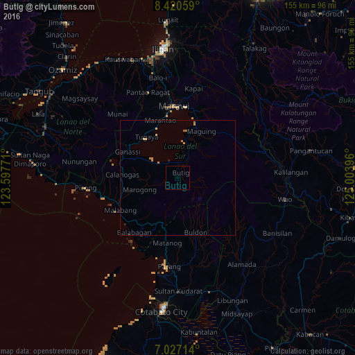
Analysis of Butig night lights 2016
Square area 10x10 km:
 0%
0%90-99
0%80-89
0%70-79
0%60-69
0%50-59
0%40-49
0%30-39
0%20-29
0%10-19
0%0-9
100%Square area 50x50 km:
0%90-99
0%80-89
0.1%70-79
0.22%60-69
0.13%50-59
0.02%40-49
0%30-39
0%20-29
0.08%10-19
0%0-9
99.44%Clear (daylight) street map image can be seen on geolist.org.
Map coordinates:
8° 25' 14.1" North, 123° 35' 51.8" East
7° 43' 28" North, 124° 18' 3" East
7° 1' 37.7" North, 125° 0' 14.3" East
Some cities around Butig sort by population:
• Marawi City
31.1 km =19.3 mi,  356°
356°
• Parang
39.5 km =24.5 mi,  184°
184°
• Wao
40.6 km =25.2 mi,  96°
96°
• Kalilangan
49.3 km =30.6 mi,  87°
87°
• Bugasan
31.9 km =19.8 mi,  188°
188°
• Mamungan
44.6 km =27.7 mi,  348°
348°
• Bayang
14.2 km =8.8 mi,  302°
302°
• Bayanga
23.2 km =14.4 mi, 193°
1722217 (p: 6,016)
Sources (retrieved 2019-11-25):
» Earth at Night: Flat Maps 2012, 2016