Marawi City night lights from space
Night Light of Marawi City (Autonomous Region in Muslim Mindanao) from space (Philippines) Src. Average luminocity for 10x10km area is 9.405% and for 50x50km: 1.9939%.
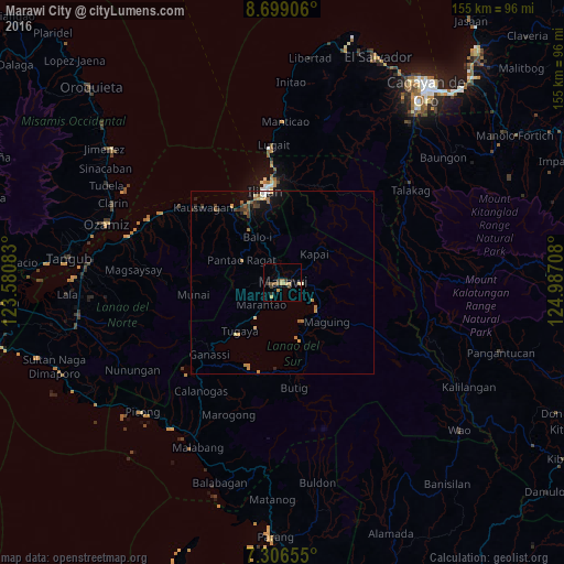
Analysis of Marawi City night lights 2016
Square area 10x10 km:
 0%
0%90-99
0%80-89
1.65%70-79
3.31%60-69
0.62%50-59
1.86%40-49
1.65%30-39
3.31%20-29
2.07%10-19
0%0-9
85.54%Square area 50x50 km:
0.09%90-99
0.11%80-89
0.29%70-79
0.49%60-69
0.35%50-59
0.3%40-49
0.23%30-39
0.48%20-29
0.32%10-19
1.03%0-9
96.32%Clear (daylight) street map image can be seen on geolist.org.
Map coordinates:
8° 41' 56.6" North, 123° 34' 51" East
8° 0' 12.2" North, 124° 17' 2.2" East
7° 18' 23.6" North, 124° 59' 13.5" East
Some cities around Marawi City sort by population:
• Iligan
25.5 km =15.8 mi,  349°
349°
• Mantampay
19.6 km =12.2 mi,  337°
337°
• Boroon
23.2 km =14.4 mi,  329°
329°
• Mamungan
14.6 km =9.1 mi, 330°
• Linamon
24.3 km =15.1 mi, 326°
• Bayang
25.5 km =15.8 mi,  203°
203°
• Maria Cristina
20.1 km =12.5 mi, 334°
• Rogongon
26.1 km =16.2 mi,  12°
12°
1701053 (p: 143,627)
Sources (retrieved 2019-11-25):
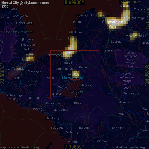
» NASA, Earths city lights 1995
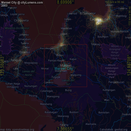
» NASA city lights 2003
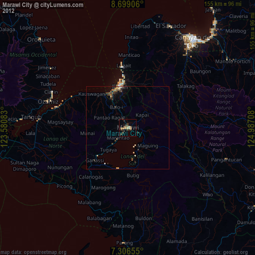
» Earth at Night: Flat Maps 2012, 2016