Kalilangan night lights from space
Night Light of Kalilangan (Northern Mindanao) from space (Philippines) Src. Average luminocity for 10x10km area is 0% and for 50x50km: 0.1003%.
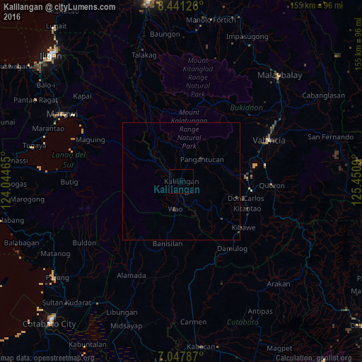
Analysis of Kalilangan night lights 2016
Square area 10x10 km:
 0%
0%90-99
0%80-89
0%70-79
0%60-69
0%50-59
0%40-49
0%30-39
0%20-29
0%10-19
0%0-9
100%Square area 50x50 km:
0%90-99
0%80-89
0%70-79
0%60-69
0%50-59
0%40-49
0.1%30-39
0.1%20-29
0%10-19
0.03%0-9
99.76%Clear (daylight) street map image can be seen on geolist.org.
Map coordinates:
8° 26' 28.5" North, 124° 2' 40.7" East
7° 44' 42.5" North, 124° 44' 52" East
7° 2' 52.3" North, 125° 27' 3.2" East
Some cities around Kalilangan sort by population:
• Maramag
28.4 km =17.6 mi,  85°
85°
• Don Carlos
29.3 km =18.2 mi,  104°
104°
• Wao
11.3 km =7 mi,  232°
232°
• Dologon
34.4 km =21.4 mi,  71°
71°
• Kadingilan
23.9 km =14.9 mi,  132°
132°
• Banisilan
28.4 km =17.6 mi,  185°
185°
• Kibawe
32.9 km =20.4 mi, 126°
• San Miguel
31.7 km =19.7 mi,  1°
1°
1709627 (p: 14,456)
Sources (retrieved 2019-11-25):
» Earth at Night: Flat Maps 2012, 2016