Wao night lights from space
Night Light of Wao (Autonomous Region in Muslim Mindanao) from space (Philippines) Src. Average luminocity for 10x10km area is 0.0062% and for 50x50km: 0.0489%.
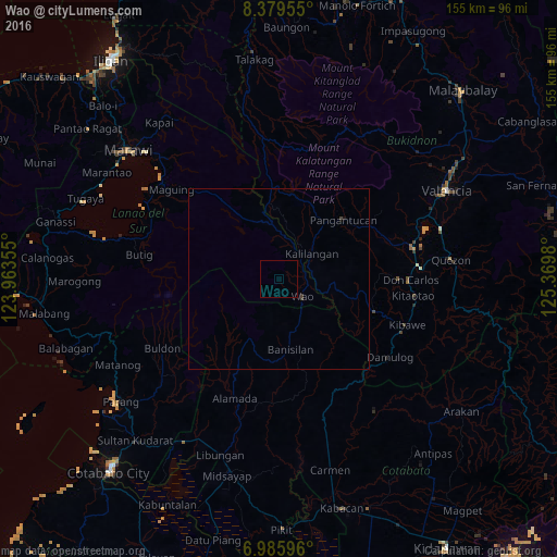
Analysis of Wao night lights 2016
Square area 10x10 km:
 0%
0%90-99
0%80-89
0%70-79
0%60-69
0%50-59
0%40-49
0%30-39
0%20-29
0%10-19
0%0-9
100%Square area 50x50 km:
0%90-99
0%80-89
0%70-79
0%60-69
0%50-59
0%40-49
0.02%30-39
0.08%20-29
0%10-19
0.03%0-9
99.87%Clear (daylight) street map image can be seen on geolist.org.
Map coordinates:
8° 22' 46.4" North, 123° 57' 48.8" East
7° 40' 60" North, 124° 40' 0" East
6° 59' 9.5" North, 125° 22' 11.3" East
Some cities around Wao sort by population:
• Maramag
38.4 km =23.9 mi,  76°
76°
• Don Carlos
37.3 km =23.2 mi,  90°
90°
• Kalilangan
11.3 km =7 mi,  52°
52°
• Damulog
37.7 km =23.4 mi,  126°
126°
• Kadingilan
28.2 km =17.5 mi,  108°
108°
• Bau
31 km =19.3 mi,  183°
183°
• Banisilan
22.3 km =13.9 mi,  163°
163°
• Kibawe
37.6 km =23.4 mi, 109°
1679678 (p: 17,845)
Sources (retrieved 2019-11-25):
» Earth at Night: Flat Maps 2012, 2016