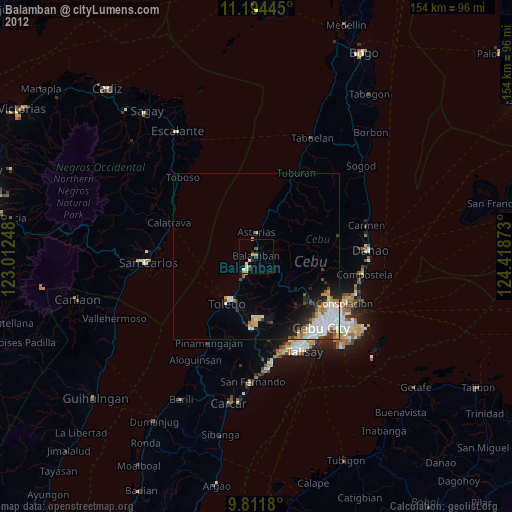
Balamban night lights from space
Night Light of Balamban (Central Visayas) from space (Philippines) Src. Average luminocity for 10x10km area is 12% and for 50x50km: 7.0517%.
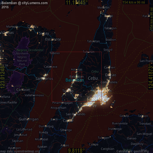
Analysis of Balamban night lights 2016
Square area 10x10 km:
 1.03%
1.03%90-99
0.62%80-89
2.48%70-79
1.24%60-69
1.03%50-59
1.86%40-49
3.31%30-39
2.07%20-29
3.31%10-19
4.13%0-9
78.93%Square area 50x50 km:
1.54%90-99
1.36%80-89
0.78%70-79
0.58%60-69
0.72%50-59
0.64%40-49
1.27%30-39
0.76%20-29
1.72%10-19
2.45%0-9
88.19%Clear (daylight) street map image can be seen on geolist.org.
Map coordinates:
11° 11' 40" North, 123° 0' 44.9" East
10° 30' 14" North, 123° 42' 56.2" East
9° 48' 42.5" North, 124° 25' 7.4" East
Some cities around Balamban sort by population:
• Toledo
16.4 km =10.2 mi,  210°
210°
• Apas
27.3 km =17 mi,  131°
131°
• Buanoy
4.4 km =2.7 mi,  202°
202°
• Jaclupan
25.1 km =15.6 mi,  153°
153°
• Calatrava
27.3 km =17 mi,  291°
291°
• Asturias
7 km =4.3 mi,  0°
0°
• Lunas
15.7 km =9.8 mi,  14°
14°
• Tajao
25.5 km =15.8 mi, 214°
1728546 (p: 22,283)
Sources (retrieved 2019-11-25):
» Earth at Night: Flat Maps 2012, 2016