Toledo night lights from space
Night Light of Toledo (Central Visayas) from space (Philippines) Src. Average luminocity for 10x10km area is 17.4277% and for 50x50km: 6.5272%.
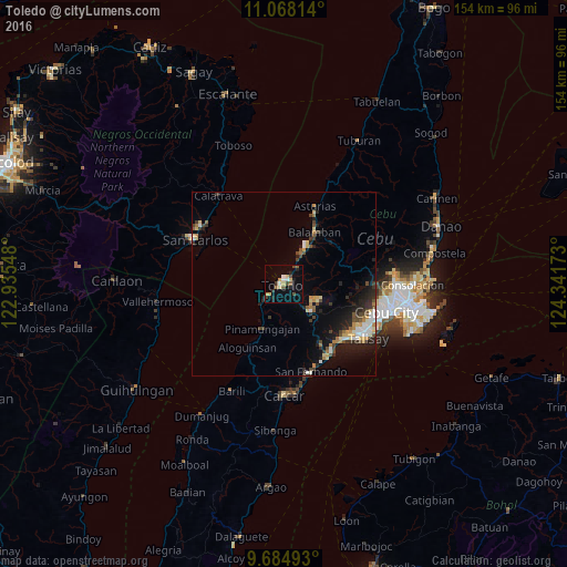
Analysis of Toledo night lights 2016
Square area 10x10 km:
 1.24%
1.24%90-99
2.07%80-89
2.89%70-79
2.89%60-69
1.03%50-59
2.27%40-49
3.93%30-39
1.86%20-29
3.31%10-19
3.1%0-9
75.41%Square area 50x50 km:
0.78%90-99
0.73%80-89
0.86%70-79
0.77%60-69
0.74%50-59
0.62%40-49
1.3%30-39
1%20-29
2.02%10-19
3.89%0-9
87.29%Clear (daylight) street map image can be seen on geolist.org.
Map coordinates:
11° 4' 5.3" North, 122° 56' 7.7" East
10° 22' 38.3" North, 123° 38' 19" East
9° 41' 5.7" North, 124° 20' 30.2" East
Some cities around Toledo sort by population:
• Pinamungahan
13.3 km =8.3 mi,  206°
206°
• Balamban
16.4 km =10.2 mi,  30°
30°
• Buanoy
12.1 km =7.5 mi, 33°
• Jaclupan
21.2 km =13.2 mi,  113°
113°
• Tutay
15.9 km =9.9 mi,  203°
203°
• Inayagan
21.3 km =13.2 mi,  138°
138°
• Bonbon
19.2 km =11.9 mi, 207°
• Tajao
9.2 km =5.7 mi,  220°
220°
1681602 (p: 156,916)
Sources (retrieved 2019-11-25):
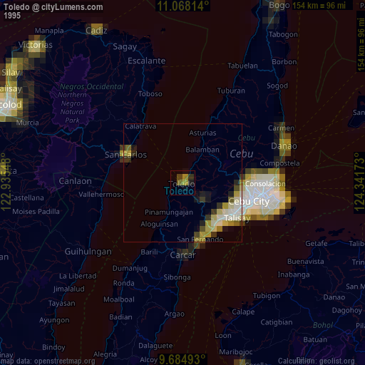
» NASA, Earths city lights 1995
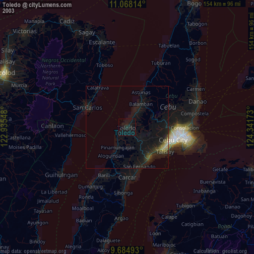
» NASA city lights 2003
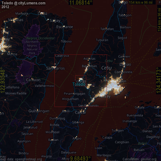
» Earth at Night: Flat Maps 2012, 2016