Asturias night lights from space
Night Light of Asturias (Central Visayas) from space (Philippines) Src. Average luminocity for 10x10km area is 3.5537% and for 50x50km: 3.4749%.
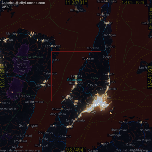
Analysis of Asturias night lights 2016
Square area 10x10 km:
 0%
0%90-99
0%80-89
0.83%70-79
0.83%60-69
0.62%50-59
0.21%40-49
1.24%30-39
0.41%20-29
1.03%10-19
0.62%0-9
94.21%Square area 50x50 km:
0.45%90-99
0.4%80-89
0.48%70-79
0.43%60-69
0.45%50-59
0.24%40-49
0.77%30-39
0.46%20-29
0.97%10-19
1.63%0-9
93.7%Clear (daylight) street map image can be seen on geolist.org.
Map coordinates:
11° 15' 26.3" North, 123° 0' 46.7" East
10° 34' 0.8" North, 123° 42' 58" East
9° 52' 29.8" North, 124° 25' 9.2" East
Some cities around Asturias sort by population:
• Toledo
22.7 km =14.1 mi,  201°
201°
• Balamban
7 km =4.3 mi,  180°
180°
• Toboso
27.3 km =17 mi,  306°
306°
• Buanoy
11.2 km =7 mi,  189°
189°
• Jaclupan
31.5 km =19.6 mi,  159°
159°
• Calatrava
25.6 km =15.9 mi,  277°
277°
• Nangka
27.5 km =17.1 mi,  93°
93°
• Lunas
9.1 km =5.7 mi,  26°
26°
1730032 (p: 7,779)
Sources (retrieved 2019-11-25):
» Earth at Night: Flat Maps 2012, 2016