Aliaga night lights from space
Night Light of Aliaga (Central Luzon) from space (Philippines) Src. Average luminocity for 10x10km area is 0.7532% and for 50x50km: 5.2133%.
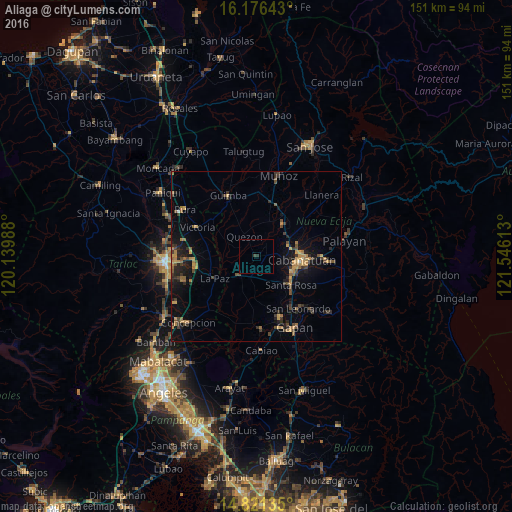
Analysis of Aliaga night lights 2016
Square area 10x10 km:
 0%
0%90-99
0%80-89
0%70-79
0%60-69
0%50-59
0%40-49
0%30-39
0.87%20-29
0.87%10-19
0%0-9
98.27%Square area 50x50 km:
0%90-99
0.07%80-89
0.33%70-79
1.25%60-69
1.12%50-59
0.68%40-49
1.37%30-39
1.18%20-29
1.43%10-19
4.09%0-9
88.48%Clear (daylight) street map image can be seen on geolist.org.
Map coordinates:
16° 10' 35.1" North, 120° 8' 23.6" East
15° 30' 0" North, 120° 50' 34.8" East
14° 49' 16.9" North, 121° 32' 46.1" East
Some cities around Aliaga sort by population:
• Cabanatuan City
13.3 km =8.3 mi,  96°
96°
• Talavera
12.8 km =8 mi,  39°
39°
• Quezon
6.4 km =4 mi,  331°
331°
• Santa Rosa
13.2 km =8.2 mi,  129°
129°
• Rajal Norte
6.5 km =4 mi,  161°
161°
• Bibiclat
3.2 km =2 mi, 40°
• Licab
9.8 km =6.1 mi,  299°
299°
• Santo Rosario
8.9 km =5.5 mi,  145°
145°
1731528 (p: 34,020)
Sources (retrieved 2019-11-25):
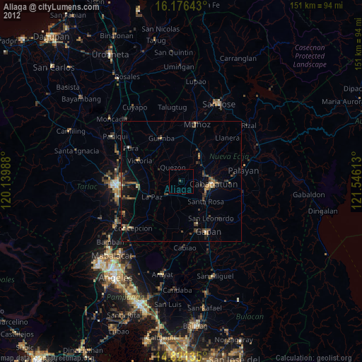
» Earth at Night: Flat Maps 2012, 2016