Alaminos night lights from space
Night Light of Alaminos (Calabarzon) from space (Philippines) Src. Average luminocity for 10x10km area is 17.0952% and for 50x50km: 19.8065%.
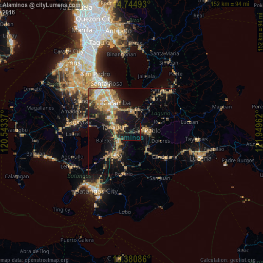
Analysis of Alaminos night lights 2016
Square area 10x10 km:
 0%
0%90-99
0%80-89
1.73%70-79
3.9%60-69
0.43%50-59
0.87%40-49
5.19%30-39
5.63%20-29
3.68%10-19
26.62%0-9
51.95%Square area 50x50 km:
1.18%90-99
1.81%80-89
1.89%70-79
6.01%60-69
3.81%50-59
2.19%40-49
3.47%30-39
3.56%20-29
4.92%10-19
11.69%0-9
59.45%Clear (daylight) street map image can be seen on geolist.org.
Map coordinates:
14° 44' 41.7" North, 120° 32' 36.1" East
14° 3' 50.1" North, 121° 14' 47.4" East
13° 22' 51.1" North, 121° 56' 58.6" East
Some cities around Alaminos sort by population:
• San Pablo
8.5 km =5.3 mi,  86°
86°
• Los Baños
11.8 km =7.3 mi,  357°
357°
• Tanauan
10.7 km =6.6 mi,  283°
283°
• Calauan
12.1 km =7.5 mi,  37°
37°
• Malvar
9.7 km =6 mi,  257°
257°
• Masaya
10.5 km =6.5 mi,  21°
21°
• Bitin
6.4 km =4 mi,  335°
335°
• San Andres
3.6 km =2.2 mi,  244°
244°
1731686 (p: 31,427)
Sources (retrieved 2019-11-25):
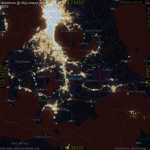
» Earth at Night: Flat Maps 2012, 2016