San Pablo night lights from space
Night Light of San Pablo (Calabarzon) from space (Philippines) Src. Average luminocity for 10x10km area is 28.6299% and for 50x50km: 16.5128%.
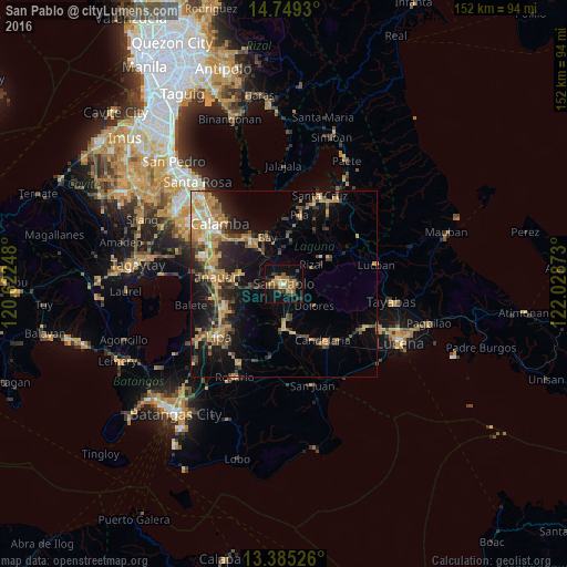
Analysis of San Pablo night lights 2016
Square area 10x10 km:
 0.22%
0.22%90-99
0.87%80-89
3.25%70-79
6.49%60-69
10.39%50-59
3.9%40-49
4.76%30-39
8.01%20-29
3.03%10-19
28.79%0-9
30.3%Square area 50x50 km:
0.78%90-99
1.33%80-89
1.4%70-79
5.1%60-69
3.43%50-59
1.84%40-49
2.8%30-39
3.13%20-29
4.21%10-19
10.26%0-9
65.73%Clear (daylight) street map image can be seen on geolist.org.
Map coordinates:
14° 44' 57.5" North, 120° 37' 20.9" East
14° 4' 5.9" North, 121° 19' 32.2" East
13° 23' 6.9" North, 122° 1' 43.4" East
Some cities around San Pablo sort by population:
• Calauan
9.1 km =5.7 mi,  352°
352°
• Alaminos
8.5 km =5.3 mi,  266°
266°
• Nagcarlan
12.4 km =7.7 mi,  52°
52°
• Lalig
9.5 km =5.9 mi,  179°
179°
• Dolores
10.4 km =6.5 mi,  119°
119°
• Masaya
10.4 km =6.5 mi,  333°
333°
• San Andres
11.9 km =7.4 mi,  260°
260°
• Tiaong
11.6 km =7.2 mi, 182°
1688830 (p: 207,577)
Sources (retrieved 2019-11-25):
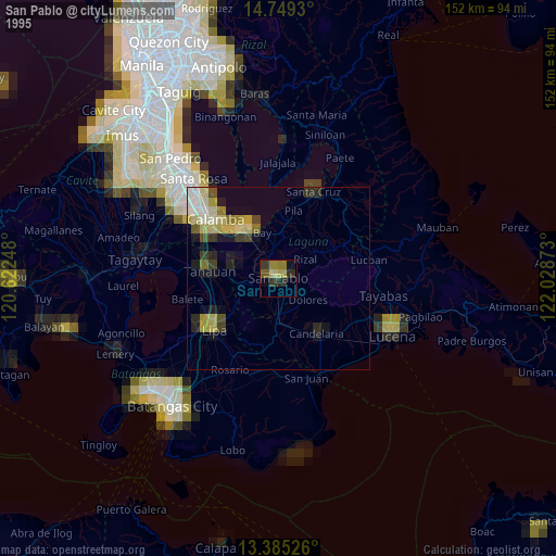
» NASA, Earths city lights 1995
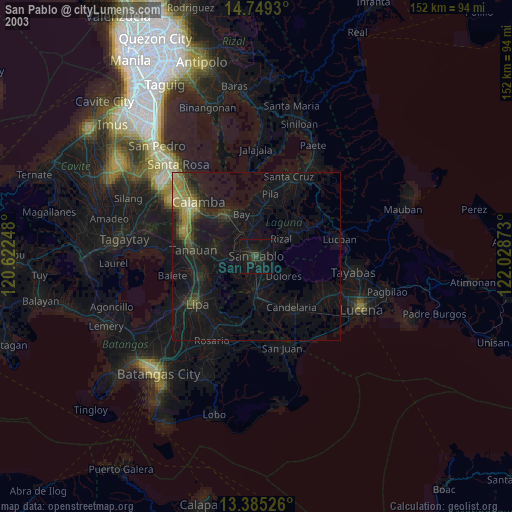
» NASA city lights 2003
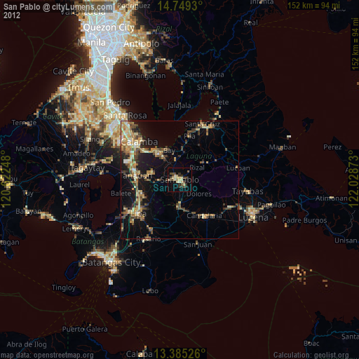
» Earth at Night: Flat Maps 2012, 2016