Rabaul night lights from space
Night Light of Rabaul (East New Britain) from space (Papua New Guinea) Src. Average luminocity for 10x10km area is 6.5952% and for 50x50km: 0.671%.
Analysis of Rabaul night lights 2016
Square area 10x10 km:
 2.6%
2.6%90-99
1.73%80-89
0%70-79
0%60-69
0.87%50-59
0%40-49
0%30-39
0%20-29
1.3%10-19
1.52%0-9
91.99%Square area 50x50 km:
0.19%90-99
0.12%80-89
0%70-79
0%60-69
0.14%50-59
0.07%40-49
0.03%30-39
0%20-29
0.31%10-19
0.22%0-9
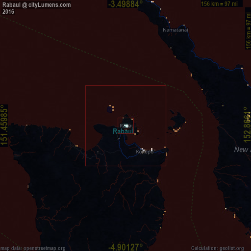
98.93%Clear (daylight) street map image can be seen on geolist.org.
Map coordinates:
3° 29' 55.8" South, 151° 27' 35.5" East
4° 12' 1.3" South, 152° 9' 46.7" East
4° 54' 4.6" South, 152° 51' 58" East
Some cities around Rabaul sort by population:
• Lae
636.9 km =395.8 mi,  243°
243°
• Arawa
439.2 km =272.9 mi,  120°
120°
• Kokopo
19.7 km =12.2 mi,  143°
143°
• Kimbe
270 km =167.8 mi, 236°
• Kavieng
236.2 km =146.8 mi,  319°
319°
• Lorengau
594 km =369.1 mi,  293°
293°
• Taro, SB
545.5 km =339 mi, 120°
• Buka
309.8 km =192.5 mi, 116°
2087894 (p: 8,074)
Sources (retrieved 2019-11-25):
» Earth at Night: Flat Maps 2012, 2016