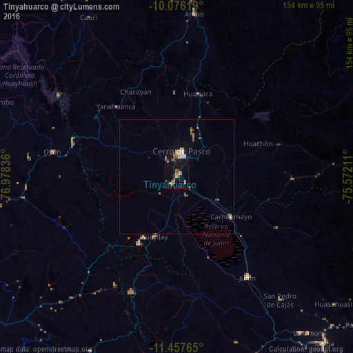
Tinyahuarco night lights from space
Night Light of Tinyahuarco (Pasco) from space (Peru) Src. Average luminocity for 10x10km area is 14.626% and for 50x50km: 2.3249%.
Analysis of Tinyahuarco night lights 2016
Square area 10x10 km:
 0%
0%90-99
0%80-89
0%70-79
4.55%60-69
5.37%50-59
3.93%40-49
1.86%30-39
0.83%20-29
1.45%10-19
4.13%0-9
77.89%Square area 50x50 km:
0.19%90-99
0.12%80-89
0.15%70-79
0.44%60-69
0.6%50-59
0.54%40-49
0.24%30-39
0.09%20-29
0.33%10-19
1.46%0-9
95.86%Clear (daylight) street map image can be seen on geolist.org.
Map coordinates:
10° 4' 34.3" South, 76° 58' 42.1" West
10° 46' 3.8" South, 76° 16' 30.8" West
11° 27' 27.5" South, 75° 34' 19.6" West
Some cities around Tinyahuarco sort by population:
• Cerro de Pasco
11.3 km =7 mi,  10°
10°
• Chaupimarca
45 km =28 mi,  333°
333°
• Junín
53.3 km =33.1 mi,  144°
144°
• Carhuamayo
31.2 km =19.4 mi,  122°
122°
• Ambo
71.2 km =44.2 mi, 6°
• Oyón
55.3 km =34.4 mi,  281°
281°
• Yanahuanca
37.1 km =23.1 mi,  318°
318°
• San Pedro de Cajas
70.2 km =43.6 mi, 139°
3927420 (p: 5,066)
Sources (retrieved 2019-11-25):
» Earth at Night: Flat Maps 2012, 2016