Oyón night lights from space
Night Light of Oyón (Lima region) from space (Peru) Src. Average luminocity for 10x10km area is 2.845% and for 50x50km: 0.7151%.
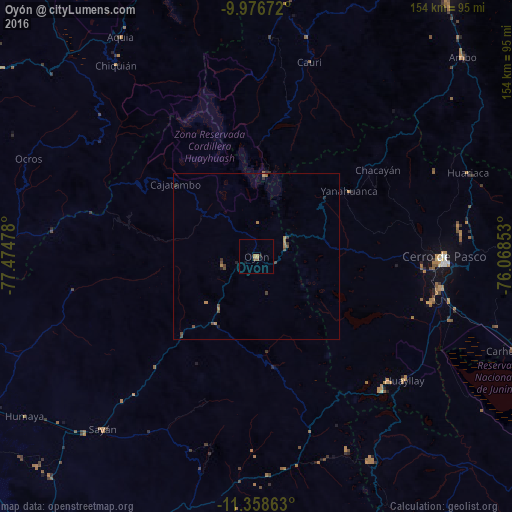
Analysis of Oyón night lights 2016
Square area 10x10 km:
 0%
0%90-99
0%80-89
0%70-79
1.65%60-69
0.62%50-59
0.21%40-49
0.83%30-39
0%20-29
0.83%10-19
0.83%0-9
95.04%Square area 50x50 km:
0%90-99
0%80-89
0%70-79
0.19%60-69
0.24%50-59
0.1%40-49
0.37%30-39
0.19%20-29
0.19%10-19
0.08%0-9
98.64%Clear (daylight) street map image can be seen on geolist.org.
Map coordinates:
9° 58' 36.2" South, 77° 28' 29.2" West
10° 40' 6.5" South, 76° 46' 17.9" West
11° 21' 31.1" South, 76° 4' 6.7" West
Some cities around Oyón sort by population:
• Cerro de Pasco
56.3 km =35 mi,  89°
89°
• Chaupimarca
44.6 km =27.7 mi,  49°
49°
• Yanacancha
49.5 km =30.8 mi,  16°
16°
• Carhuamayo
85.2 km =52.9 mi,  108°
108°
• Sayán
69.3 km =43.1 mi,  221°
221°
• Yanahuanca
34.3 km =21.3 mi,  60°
60°
• San Miguel de Cauri
61.2 km =38 mi, 15°
• Tinyahuarco
55.3 km =34.4 mi,  101°
101°
3933867 (p: 6,276)
Sources (retrieved 2019-11-25):
» Earth at Night: Flat Maps 2012, 2016