Chaupimarca night lights from space
Night Light of Chaupimarca (Pasco) from space (Peru) Src. Average luminocity for 10x10km area is 0% and for 50x50km: 0.1764%.
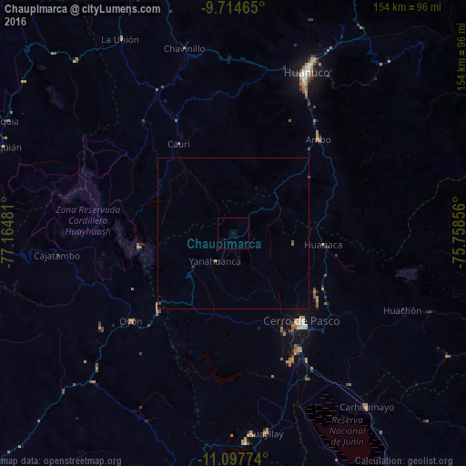
Analysis of Chaupimarca night lights 2016
Square area 10x10 km:
 0%
0%90-99
0%80-89
0%70-79
0%60-69
0%50-59
0%40-49
0%30-39
0%20-29
0%10-19
0%0-9
100%Square area 50x50 km:
0%90-99
0%80-89
0%70-79
0.01%60-69
0.07%50-59
0.08%40-49
0%30-39
0.05%20-29
0.07%10-19
0.03%0-9
99.69%Clear (daylight) street map image can be seen on geolist.org.
Map coordinates:
9° 42' 52.7" South, 77° 9' 53.3" West
10° 24' 25.1" South, 76° 27' 42" West
11° 5' 51.9" South, 75° 45' 30.8" West
Some cities around Chaupimarca sort by population:
• Huánuco
58.2 km =36.2 mi,  24°
24°
• Cerro de Pasco
36.6 km =22.7 mi,  142°
142°
• Yanacancha
27.3 km =17 mi,  312°
312°
• Ambo
41.6 km =25.8 mi,  42°
42°
• Oyón
44.6 km =27.7 mi,  229°
229°
• Yanahuanca
12.8 km =8 mi,  198°
198°
• San Miguel de Cauri
34.7 km =21.6 mi,  329°
329°
• Tinyahuarco
45 km =28 mi,  153°
153°
3944179 (p: 28,666)
Sources (retrieved 2019-11-25):
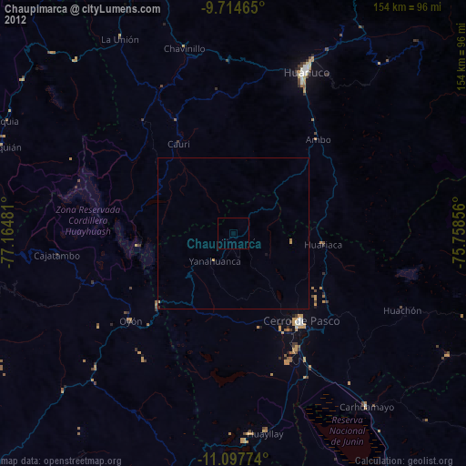
» Earth at Night: Flat Maps 2012, 2016