Cerro de Pasco night lights from space
Night Light of Cerro de Pasco (Pasco) from space (Peru) Src. Average luminocity for 10x10km area is 22.5826% and for 50x50km: 2.2561%.
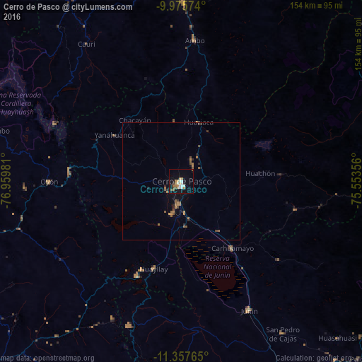
Analysis of Cerro de Pasco night lights 2016
Square area 10x10 km:
 4.55%
4.55%90-99
2.89%80-89
2.89%70-79
4.34%60-69
2.48%50-59
2.27%40-49
0.83%30-39
0.83%20-29
0.41%10-19
23.35%0-9
55.17%Square area 50x50 km:
0.19%90-99
0.12%80-89
0.12%70-79
0.44%60-69
0.56%50-59
0.5%40-49
0.24%30-39
0.17%20-29
0.33%10-19
1.47%0-9
95.88%Clear (daylight) street map image can be seen on geolist.org.
Map coordinates:
9° 58' 32.7" South, 76° 57' 35.3" West
10° 40' 2.9" South, 76° 15' 24" West
11° 21' 27.5" South, 75° 33' 12.8" West
Some cities around Cerro de Pasco sort by population:
• Chaupimarca
36.6 km =22.7 mi,  322°
322°
• Yanacancha
63.7 km =39.6 mi, 318°
• Junín
61.8 km =38.4 mi,  152°
152°
• Carhuamayo
36.9 km =22.9 mi,  138°
138°
• Ambo
59.9 km =37.2 mi,  5°
5°
• Oyón
56.3 km =35 mi,  269°
269°
• Yanahuanca
31.3 km =19.4 mi,  302°
302°
• Tinyahuarco
11.3 km =7 mi,  190°
190°
3944797 (p: 78,910)
Sources (retrieved 2019-11-25):
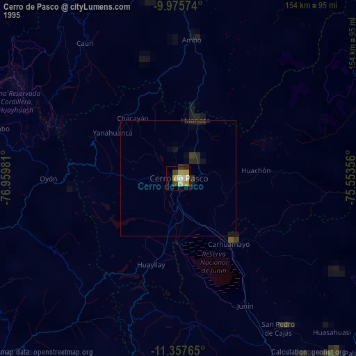
» NASA, Earths city lights 1995
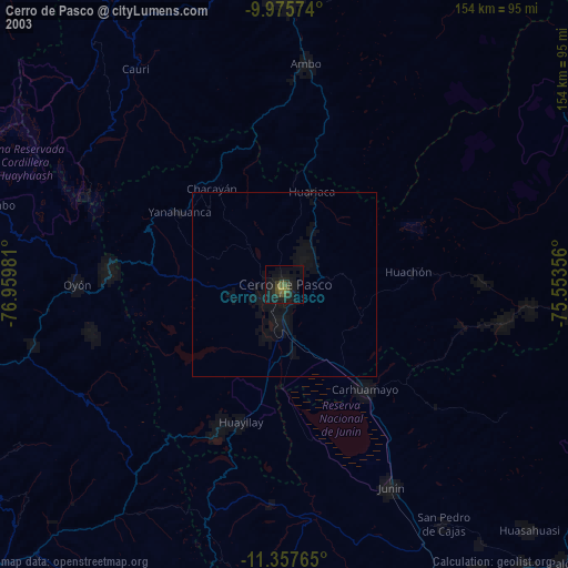
» NASA city lights 2003
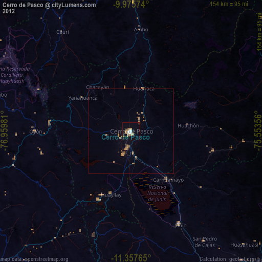
» Earth at Night: Flat Maps 2012, 2016