Marcavelica night lights from space
Night Light of Marcavelica (Piura) from space (Peru) Src. Average luminocity for 10x10km area is 50.2231% and for 50x50km: 6.2678%.
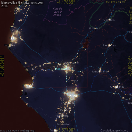
Analysis of Marcavelica night lights 2016
Square area 10x10 km:
 8.26%
8.26%90-99
9.3%80-89
15.08%70-79
3.31%60-69
3.93%50-59
3.93%40-49
9.92%30-39
7.02%20-29
9.92%10-19
25.21%0-9
4.13%Square area 50x50 km:
0.37%90-99
0.5%80-89
1.54%70-79
0.63%60-69
0.54%50-59
0.74%40-49
1.37%30-39
1.3%20-29
1.33%10-19
4.08%0-9
87.6%Clear (daylight) street map image can be seen on geolist.org.
Map coordinates:
4° 10' 36.7" South, 81° 24' 30.3" West
4° 52' 40" South, 80° 42' 19" West
5° 34' 40.7" South, 80° 0' 7.8" West
Some cities around Marcavelica sort by population:
• Piura
36.1 km =22.4 mi,  167°
167°
• Sullana
3.7 km =2.3 mi,  142°
142°
• Catacaos
43.3 km =26.9 mi,  176°
176°
• Tambo Grande
40.3 km =25 mi,  97°
97°
• Querecotillo
8 km =5 mi,  56°
56°
• Salinera Colán
43.6 km =27.1 mi,  246°
246°
• La Huaca
28.5 km =17.7 mi,  262°
262°
• Salitral
3.5 km =2.2 mi,  49°
49°
3694939 (p: 25,645)
Sources (retrieved 2019-11-25):
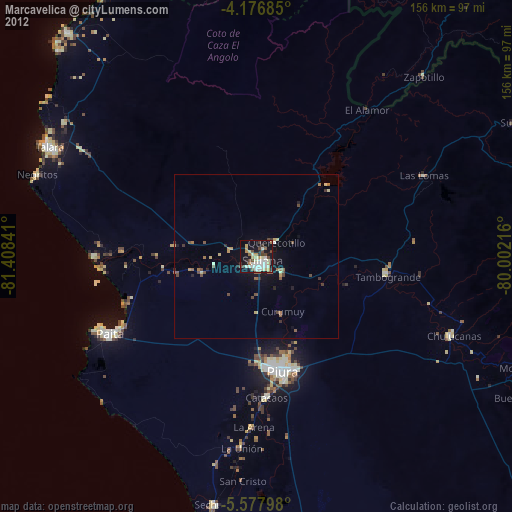
» Earth at Night: Flat Maps 2012, 2016