Tacna night lights from space
Night Light of Tacna from space (Peru) Src. Average luminocity for 10x10km area is 64.0108% and for 50x50km: 4.593%.
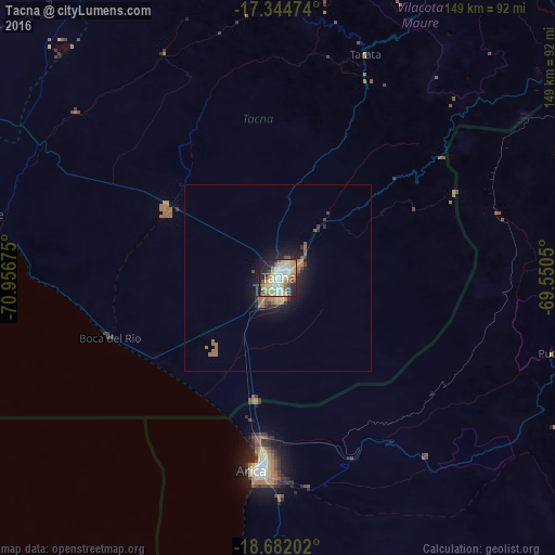
Analysis of Tacna night lights 2016
Square area 10x10 km:
 7.79%
7.79%90-99
17.32%80-89
17.1%70-79
13.85%60-69
4.33%50-59
7.36%40-49
4.55%30-39
3.9%20-29
14.07%10-19
9.31%0-9
0.43%Square area 50x50 km:
0.3%90-99
0.67%80-89
0.78%70-79
0.75%60-69
0.84%50-59
0.71%40-49
0.45%30-39
0.52%20-29
1.26%10-19
3.39%0-9
90.33%Clear (daylight) street map image can be seen on geolist.org.
Map coordinates:
17° 20' 41.1" South, 70° 57' 24.3" West
18° 0' 52.7" South, 70° 15' 13" West
18° 40' 55.3" South, 69° 33' 1.8" West
Some cities around Tacna sort by population:
• Arica, CL
51.4 km =31.9 mi,  185°
185°
• Moquegua
116 km =72.1 mi,  321°
321°
• Ilo
122.7 km =76.2 mi,  290°
290°
• Ilabaya
71.5 km =44.4 mi,  337°
337°
• Cocachacra
189.8 km =117.9 mi,  302°
302°
• Pacocha
122.6 km =76.2 mi, 289°
• Torata
121.6 km =75.6 mi,  329°
329°
• Punta de Bombón
188.1 km =116.9 mi, 299°
3928128 (p: 280,098)
Sources (retrieved 2019-11-25):
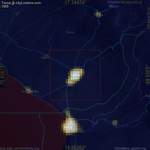
» NASA, Earths city lights 1995
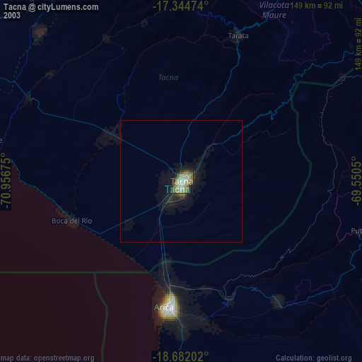
» NASA city lights 2003
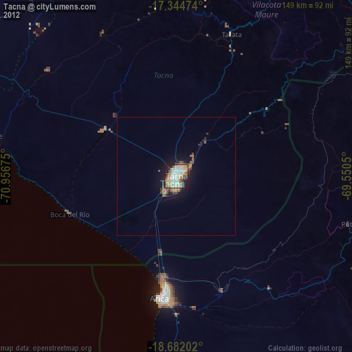
» Earth at Night: Flat Maps 2012, 2016