Arica night lights from space
Night Light of Arica (Arica y Parinacota) from space (Chile) Src. Average luminocity for 10x10km area is 59.0413% and for 50x50km: 3.9102%.
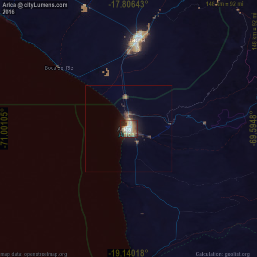
Analysis of Arica night lights 2016
Square area 10x10 km:
 6.4%
6.4%90-99
10.33%80-89
16.74%70-79
10.12%60-69
10.54%50-59
6.61%40-49
7.85%30-39
8.47%20-29
9.92%10-19
13.02%0-9
0%Square area 50x50 km:
0.25%90-99
0.41%80-89
0.67%70-79
0.43%60-69
0.58%50-59
0.69%40-49
0.58%30-39
1%20-29
1.11%10-19
3.02%0-9
91.25%Clear (daylight) street map image can be seen on geolist.org.
Map coordinates:
17° 48' 23.1" South, 71° 0' 3.8" West
18° 28' 28.6" South, 70° 17' 52.5" West
19° 8' 24.6" South, 69° 35' 41.3" West
Some cities around Arica sort by population:
• Tacna, PE
51.4 km =31.9 mi,  5°
5°
• Iquique
193.9 km =120.5 mi,  175°
175°
• Moquegua, PE
157.1 km =97.6 mi,  334°
334°
• Ilo, PE
144.7 km =89.9 mi,  310°
310°
• Ilabaya, PE
119.4 km =74.2 mi,  348°
348°
• Pacocha, PE
144 km =89.5 mi, 309°
• Torata, PE
165.8 km =103 mi,  339°
339°
• Punta de Bombón, PE
214.5 km =133.3 mi, 312°
3899361 (p: 185,999)
Sources (retrieved 2019-11-25):
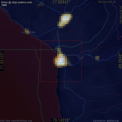
» NASA, Earths city lights 1995
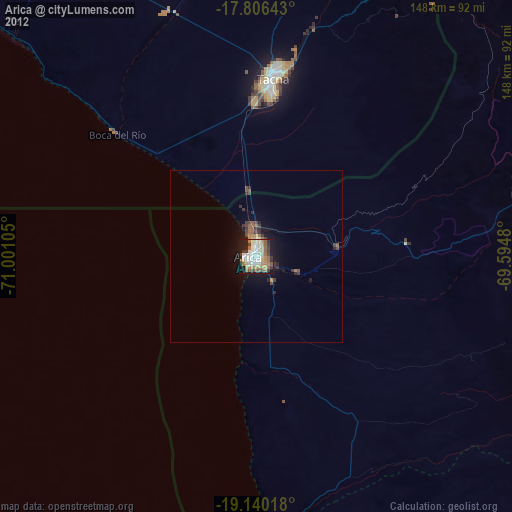
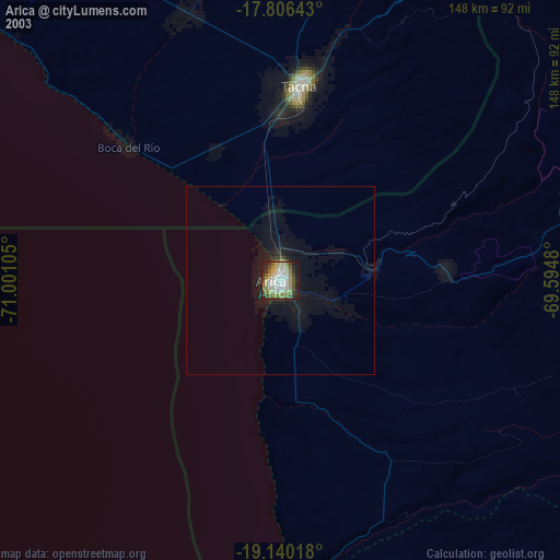
» NASA city lights 2003
» Earth at Night: Flat Maps 2012, 2016