La Peca night lights from space
Night Light of La Peca (Amazonas) from space (Peru) Src. Average luminocity for 10x10km area is 1.3099% and for 50x50km: 0.9902%.
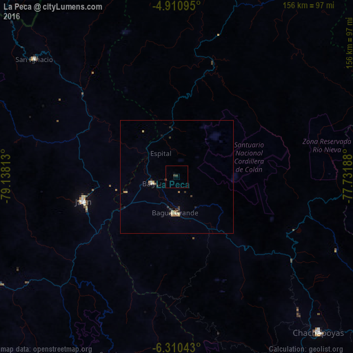
Analysis of La Peca night lights 2016
Square area 10x10 km:
 0%
0%90-99
0%80-89
0%70-79
0%60-69
0%50-59
0.83%40-49
1.03%30-39
0.62%20-29
0%10-19
0%0-9
97.52%Square area 50x50 km:
0.03%90-99
0.03%80-89
0.35%70-79
0.15%60-69
0.05%50-59
0.12%40-49
0.15%30-39
0.29%20-29
0.23%10-19
0.13%0-9
98.47%Clear (daylight) street map image can be seen on geolist.org.
Map coordinates:
4° 54' 39.4" South, 79° 8' 17.3" West
5° 36' 40" South, 78° 26' 6" West
6° 18' 37.5" South, 77° 43' 54.8" West
Some cities around La Peca sort by population:
• Jaén
42.6 km =26.5 mi,  255°
255°
• Bagua Grande
16.1 km =10 mi,  182°
182°
• Chachapoyas
93.2 km =57.9 mi,  137°
137°
• Chota
107.1 km =66.5 mi,  192°
192°
• Bambamarca
119.7 km =74.4 mi, 185°
• San Ignacio
81.3 km =50.5 mi,  309°
309°
• Cajaruro
14 km =8.7 mi, 175°
• Bellavista
27.4 km =17 mi, 257°
3695675 (p: 27,045)
Sources (retrieved 2019-11-25):
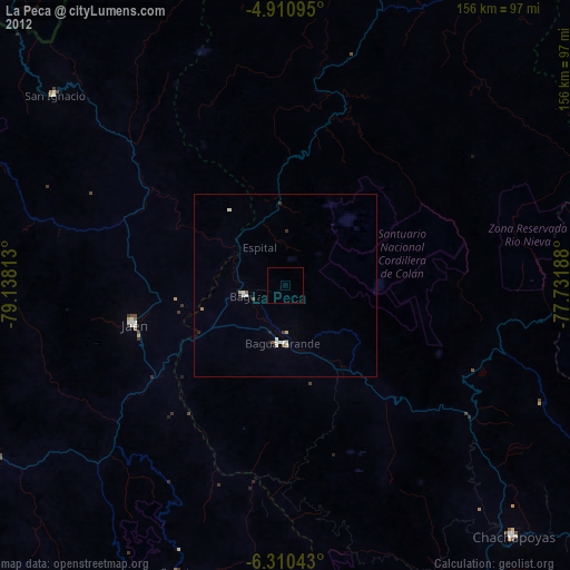
» Earth at Night: Flat Maps 2012, 2016