Quilmaná night lights from space
Night Light of Quilmaná (Lima region) from space (Peru) Src. Average luminocity for 10x10km area is 7.2468% and for 50x50km: 3.9247%.
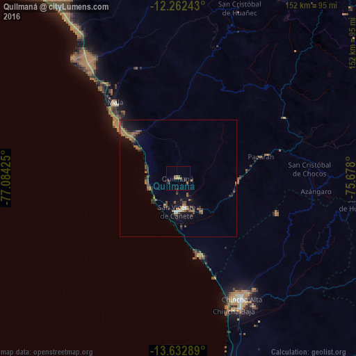
Analysis of Quilmaná night lights 2016
Square area 10x10 km:
 0%
0%90-99
0%80-89
0%70-79
0.87%60-69
4.33%50-59
1.73%40-49
0.87%30-39
2.16%20-29
2.16%10-19
0%0-9
87.88%Square area 50x50 km:
0.08%90-99
0.22%80-89
0.07%70-79
0.2%60-69
1.54%50-59
0.99%40-49
0.63%30-39
0.91%20-29
0.97%10-19
3.07%0-9
91.32%Clear (daylight) street map image can be seen on geolist.org.
Map coordinates:
12° 15' 44.7" South, 77° 5' 3.3" West
12° 56' 55" South, 76° 22' 52" West
13° 37' 58.4" South, 75° 40' 40.8" West
Some cities around Quilmaná sort by population:
• Chincha Alta
57.9 km =36 mi,  152°
152°
• Nuevo Imperial
15.7 km =9.8 mi, 153°
• Imperial
12.7 km =7.9 mi,  165°
165°
• San Vicente de Cañete
14.1 km =8.8 mi,  181°
181°
• Mala
42.2 km =26.2 mi,  320°
320°
• San Clemente
83.7 km =52 mi,  162°
162°
• Chilca
61.2 km =38 mi, 320°
• San Bartolo
76.5 km =47.5 mi,  325°
325°
3930817 (p: 6,442)
Sources (retrieved 2019-11-25):
» Earth at Night: Flat Maps 2012, 2016