Imperial night lights from space
Night Light of Imperial (Lima region) from space (Peru) Src. Average luminocity for 10x10km area is 27.7727% and for 50x50km: 3.331%.
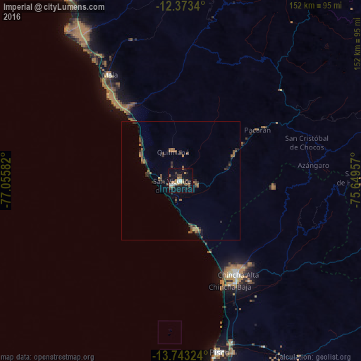
Analysis of Imperial night lights 2016
Square area 10x10 km:
 2.16%
2.16%90-99
5.63%80-89
1.73%70-79
3.03%60-69
5.41%50-59
4.98%40-49
3.46%30-39
4.76%20-29
2.38%10-19
36.36%0-9
30.09%Square area 50x50 km:
0.08%90-99
0.22%80-89
0.13%70-79
0.28%60-69
0.98%50-59
0.73%40-49
0.68%30-39
0.83%20-29
0.93%10-19
2.05%0-9
93.1%Clear (daylight) street map image can be seen on geolist.org.
Map coordinates:
12° 22' 24.2" South, 77° 3' 21" West
13° 3' 33.4" South, 76° 21' 9.7" West
13° 44' 35.7" South, 75° 38' 58.5" West
Some cities around Imperial sort by population:
• Chincha Alta
45.7 km =28.4 mi,  148°
148°
• Pisco
74.1 km =46 mi,  167°
167°
• Nuevo Imperial
4.2 km =2.6 mi,  115°
115°
• San Vicente de Cañete
4 km =2.5 mi,  242°
242°
• Mala
53.8 km =33.4 mi,  325°
325°
• San Clemente
71 km =44.1 mi,  162°
162°
• Chilca
72.9 km =45.3 mi, 325°
• Quilmaná
12.7 km =7.9 mi,  345°
345°
3938396 (p: 32,344)
Sources (retrieved 2019-11-25):
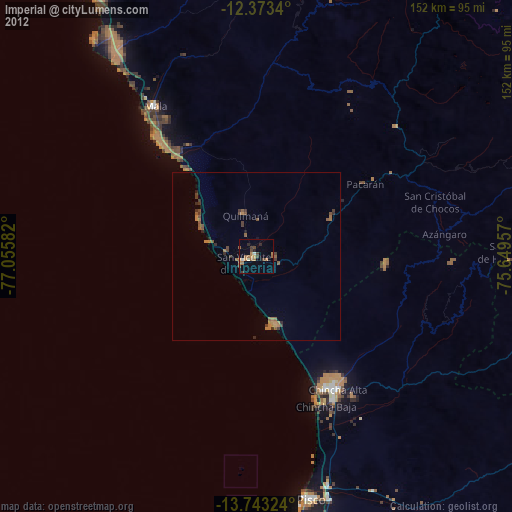
» Earth at Night: Flat Maps 2012, 2016