San Bartolo night lights from space
Night Light of San Bartolo (Lima region) from space (Peru) Src. Average luminocity for 10x10km area is 26.9731% and for 50x50km: 13.9999%.
Analysis of San Bartolo night lights 2016
Square area 10x10 km:
 0%
0%90-99
0%80-89
0.83%70-79
0.83%60-69
19.42%50-59
5.17%40-49
1.03%30-39
5.99%20-29
6.82%10-19
33.68%0-9
26.24%Square area 50x50 km:
2.41%90-99
1.2%80-89
0.8%70-79
1.83%60-69
5.61%50-59
1.86%40-49
1.3%30-39
1.73%20-29
3.04%10-19
8.43%0-9
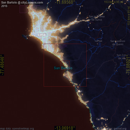
71.78%Clear (daylight) street map image can be seen on geolist.org.
Map coordinates:
11° 41' 44.4" South, 77° 29' 11.3" West
12° 22' 60" South, 76° 46' 60" West
13° 4' 9" South, 76° 4' 48.8" West
Some cities around San Bartolo sort by population:
• Lima
46.2 km =28.7 mi,  324°
324°
• Santiago de Surco
36.7 km =22.8 mi, 318°
• Chosica
49.6 km =30.8 mi,  9°
9°
• San Isidro
41.5 km =25.8 mi, 315°
• Mala
34.7 km =21.6 mi,  151°
151°
• Santa María
43.7 km =27.2 mi,  344°
344°
• Chilca
16.1 km =10 mi,  161°
161°
• San Luis
41.1 km =25.5 mi,  326°
326°
3929805 (p: 5,733)
Sources (retrieved 2019-11-25):
» Earth at Night: Flat Maps 2012, 2016