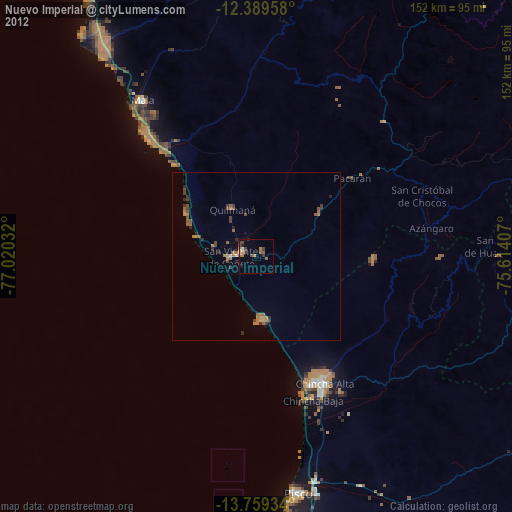
Nuevo Imperial night lights from space
Night Light of Nuevo Imperial (Lima region) from space (Peru) Src. Average luminocity for 10x10km area is 20.013% and for 50x50km: 3.3498%.
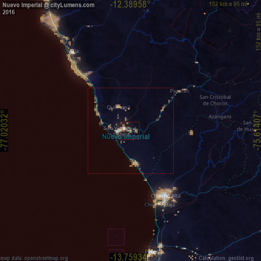
Analysis of Nuevo Imperial night lights 2016
Square area 10x10 km:
 0.87%
0.87%90-99
2.6%80-89
0%70-79
2.38%60-69
6.28%50-59
5.19%40-49
2.16%30-39
4.55%20-29
3.03%10-19
19.91%0-9
53.03%Square area 50x50 km:
0.08%90-99
0.22%80-89
0.13%70-79
0.28%60-69
0.96%50-59
0.75%40-49
0.71%30-39
0.83%20-29
0.93%10-19
2.08%0-9
93.04%Clear (daylight) street map image can be seen on geolist.org.
Map coordinates:
12° 23' 22.5" South, 77° 1' 13.2" West
13° 4' 31.5" South, 76° 19' 1.9" West
13° 45' 33.6" South, 75° 36' 50.7" West
Some cities around Nuevo Imperial sort by population:
• Chincha Alta
42.2 km =26.2 mi,  151°
151°
• Pisco
71.6 km =44.5 mi,  170°
170°
• Imperial
4.2 km =2.6 mi,  295°
295°
• San Vicente de Cañete
7.4 km =4.6 mi,  269°
269°
• Mala
57.5 km =35.7 mi,  323°
323°
• San Clemente
68.2 km =42.4 mi,  164°
164°
• Villa Tupac Amaru
73 km =45.4 mi, 165°
• Quilmaná
15.7 km =9.8 mi,  333°
333°
3934239 (p: 32,344)
Sources (retrieved 2019-11-25):
» Earth at Night: Flat Maps 2012, 2016