Morococha night lights from space
Night Light of Morococha (Junin) from space (Peru) Src. Average luminocity for 10x10km area is 18.0541% and for 50x50km: 4.0428%.
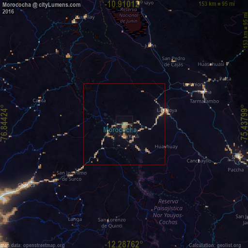
Analysis of Morococha night lights 2016
Square area 10x10 km:
 0%
0%90-99
0%80-89
0%70-79
4.98%60-69
7.58%50-59
2.6%40-49
1.95%30-39
3.03%20-29
4.98%10-19
14.72%0-9
60.17%Square area 50x50 km:
0.02%90-99
0.05%80-89
0.09%70-79
1.07%60-69
1.59%50-59
0.83%40-49
0.44%30-39
0.53%20-29
0.59%10-19
1.13%0-9
93.66%Clear (daylight) street map image can be seen on geolist.org.
Map coordinates:
10° 54' 36.4" South, 76° 50' 39.3" West
11° 35' 59" South, 76° 8' 28" West
12° 17' 15.4" South, 75° 26' 16.8" West
Some cities around Morococha sort by population:
• Chosica
72.7 km =45.2 mi,  238°
238°
• Tarma
53.1 km =33 mi,  67°
67°
• La Oroya
27.8 km =17.3 mi, 71°
• Junín
51.6 km =32.1 mi,  18°
18°
• Acolla
66.4 km =41.3 mi,  102°
102°
• Asentamiento Humano Nicolas de Pierola
72 km =44.7 mi, 238°
• San Pedro de Cajas
49.4 km =30.7 mi,  38°
38°
• Huasahuasi
65.4 km =40.6 mi,  55°
55°
3934586 (p: 7,890)
Sources (retrieved 2019-11-25):
» Earth at Night: Flat Maps 2012, 2016