Asentamiento Humano Nicolas de Pierola night lights from space
Night Light of Asentamiento Humano Nicolas de Pierola (Lima region) from space (Peru) Src. Average luminocity for 10x10km area is 38.0186% and for 50x50km: 14.81%.
Analysis of Asentamiento Humano Nicolas de Pierola night lights 2016
Square area 10x10 km:
 2.89%
2.89%90-99
6.2%80-89
3.1%70-79
5.37%60-69
14.05%50-59
3.31%40-49
5.58%30-39
2.89%20-29
6.4%10-19
39.05%0-9
11.16%Square area 50x50 km:
1.38%90-99
1.65%80-89
1.02%70-79
2.41%60-69
5.73%50-59
2.34%40-49
2.56%30-39
2.27%20-29
2.77%10-19
6.44%0-9
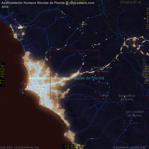
71.43%Clear (daylight) street map image can be seen on geolist.org.
Map coordinates:
11° 14' 49" South, 77° 24' 33.3" West
11° 56' 8.6" South, 76° 42' 22" West
12° 37' 21.9" South, 76° 0' 10.8" West
Some cities around Asentamiento Humano Nicolas de Pierola sort by population:
• Lima
37 km =23 mi,  251°
251°
• Callao
46.8 km =29.1 mi, 253°
• Santiago de Surco
39.6 km =24.6 mi,  235°
235°
• Chosica
0.9 km =0.6 mi,  203°
203°
• San Isidro
42.5 km =26.4 mi, 241°
• Santa María
21.8 km =13.5 mi, 249°
• San Luis
35.1 km =21.8 mi, 243°
• San Bartolo
50.5 km =31.4 mi,  189°
189°
3934290 (p: 5,800)
Sources (retrieved 2019-11-25):
» Earth at Night: Flat Maps 2012, 2016